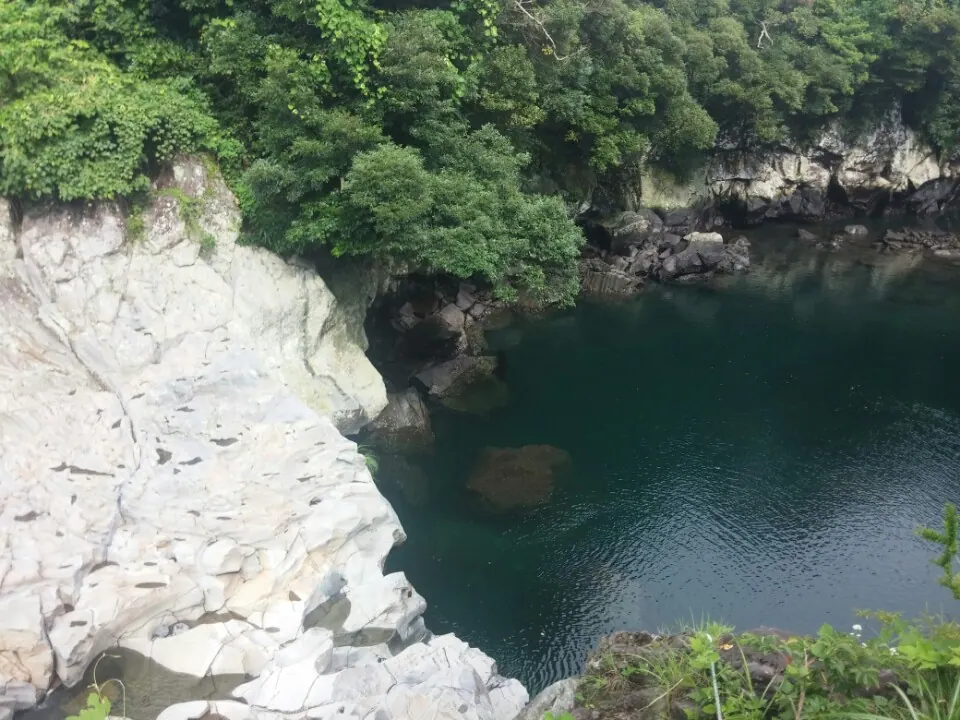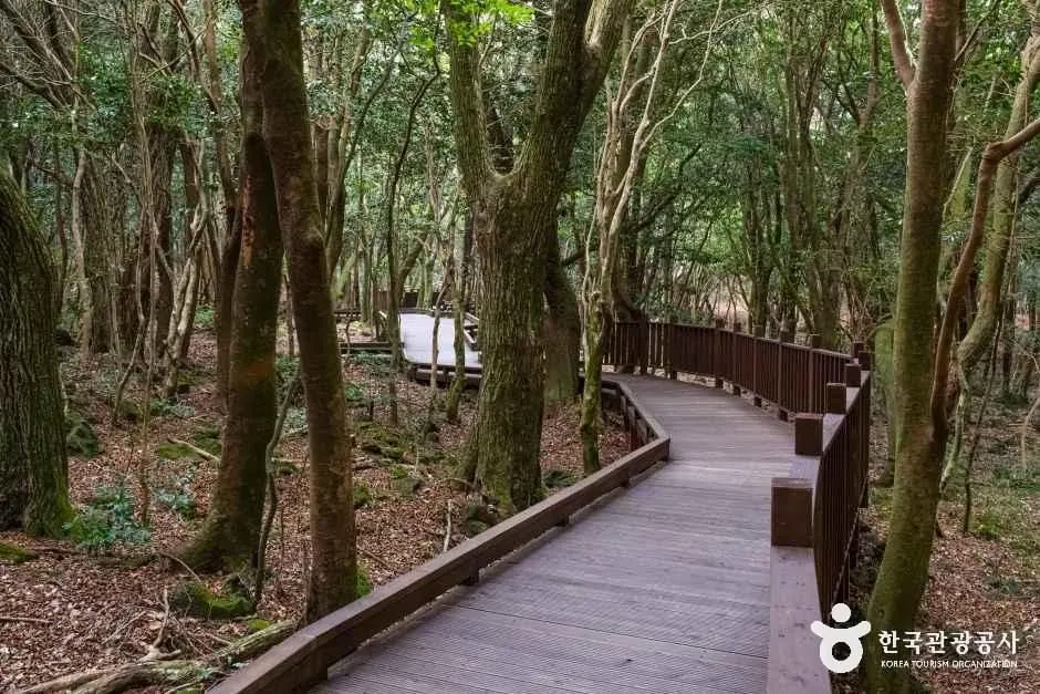
Seogwipo Forest of Healing
After exploring Gogeunsan Mountain (Gogongsan Mountain), consider Seogwipo Forest of Healing for a different setting. Check the separate journey and access conditions before adding it to your itinerary.
Visitor guide →Seogwipo and the south · Volcanic hills
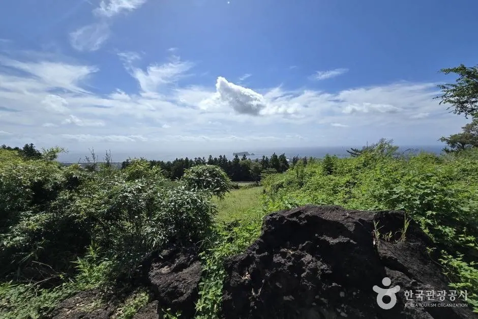
This oreum in Seogwipo is said to have been named the 'lonely mountain' because there are no tall mountains nearby. From one place, you can compare the directions of southern Hallasan, Seogwipo's urban area and its offshore islands. Jeju Olle Route 7-1 passes through, so plan a return walk on the oreum separately from completing the Olle route.
Travel planning at a glance
Plan Gogeunsan using designated trails in Seoho-dong. Its name as a lonely mountain is associated with the absence of other high mountains nearby. Elevation of 396.2m and height above surrounding ground of 171m differ from walking distance. Being listed as having trail facilities does not override daily restrictions or private-property guidance.
Operating and access information is based on the official sources below. Recommended routes and visit durations are editorial suggestions. Check each place's description to see whether waiting, meals and similar time are included, and allow separate time for travel between places.
Gogeunsan Mountain (Gogongsan Mountain) · Official information ↗ · Checked
Jeju oreum with trail facilities: 2026 status ↗ · Checked
A volcanic hill in Seogwipo whose name is associated with the story of a solitary mountain without high peaks nearby.
From one place, you can compare the directions of southern Hallasan, Seogwipo's urban area and its offshore islands. Jeju Olle Route 7-1 passes through, so plan a return walk on the oreum separately from completing the Olle route.
Gogeunsan Mountain (Gogongsan Mountain) · Official information ↗ · Checked
The official oreum register lists Gogeunsan's elevation as 396.2m and its height from surrounding ground to the cone's top as 171m. These differ from hiking distance and actual uphill path length; consider them alongside your chosen trail's ascent and descent.
Vertical caves such as Gangsaengi Cave are separate from the public walking route. Do not leave the viewpoint path to explore cave entrances.
Gogeunsan Mountain (Gogongsan Mountain) · Official information ↗ · Checked
Jeju oreum with trail facilities: 2026 status ↗ · Checked
Gogeunsan's height above surrounding ground of 171m is an elevation difference. With children or beginners, prioritize enough energy to descend safely over summit photographs, and consider additional peaks as separate outings.
Residents' living and working spaces around Gogeunsan differ from visitor routes. Do not take shortcuts through fields, graves or fenced areas, and avoid blocking paths during photographs.
Gogeunsan Mountain (Gogongsan Mountain) · Official information ↗ · Checked
Jeju oreum visitor rules ↗ · Checked
The official location is 서귀포시서호동 1286-1번지일대. This represents Gogeunsan's land parcel, not guaranteed parking or an exact trailhead. Compare map results for “고근산 서호동” with signs at the designated entrance.
Include returning to your Seoho-dong starting entrance after descending Gogeunsan. This guide does not confirm dedicated parking or a bus stop as at a managed attraction. Drivers should check permitted parking on site; public-transport users should compare extra walking and return services.
Visitor location · 서귀포시서호동 1286-1번지일대
This is the volcanic hill’s representative land-parcel address. Check the exact parking area and trailhead separately against on-site designated-trail guidance.
Location reference ↗Gogeunsan Mountain (Gogongsan Mountain) · Official information ↗ · Checked
Jeju oreum with trail facilities: 2026 status ↗ · Checked
After exploring Gogeunsan Mountain (Gogongsan Mountain), consider Seogwipo Forest of Healing for a different setting. Check the separate journey and access conditions before adding it to your itinerary.
Visitor guide →After exploring Gogeunsan Mountain (Gogongsan Mountain), consider Soesokkak Estuary for a different setting. Check the separate journey and access conditions before adding it to your itinerary.
Visitor guide →The official inventory lists an elevation of 396.2m above sea level and a relative height of 171m. Relative height is the difference in height from the surrounding ground toward the summit, not a hiking distance or duration.
This oreum in Seogwipo is said to have been named the 'lonely mountain' because there are no tall mountains nearby. From one place, you can compare the directions of southern Hallasan, Seogwipo's urban area and its offshore islands. Jeju Olle Route 7-1 passes through, so plan a return walk on the oreum separately from completing the Olle route.
Vertical caves such as Gangsaengi Cave are separate from the public walking route. Do not leave the viewpoint path to explore cave entrances. The latest list of established trails does not lift private-property, ranch or daily weather restrictions. Follow designated paths and on-site access notices first.
The address “서귀포시서호동 1286-1번지일대” is the cone's representative location in the official register. It does not confirm dedicated parking or an access road. Check the current designated entrance in Seoho-dong and return transport separately.