Jeju City and the north · Volcanic hills
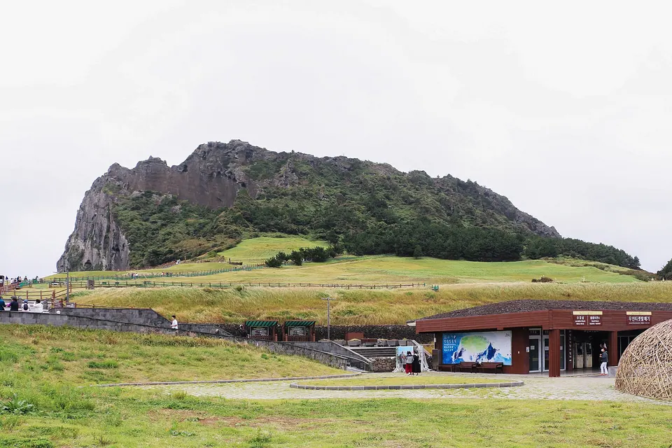
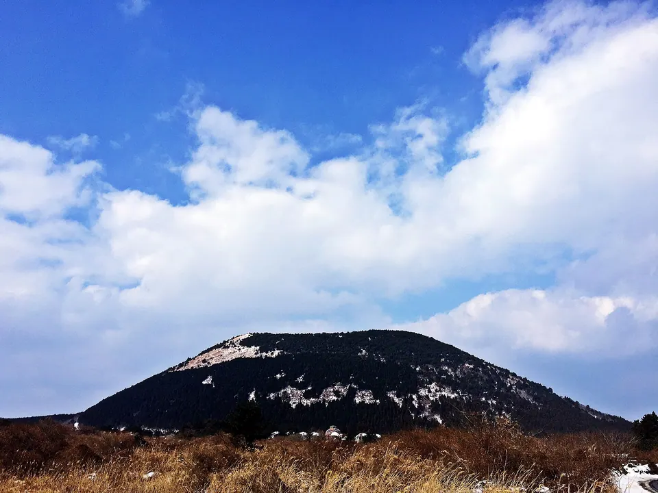
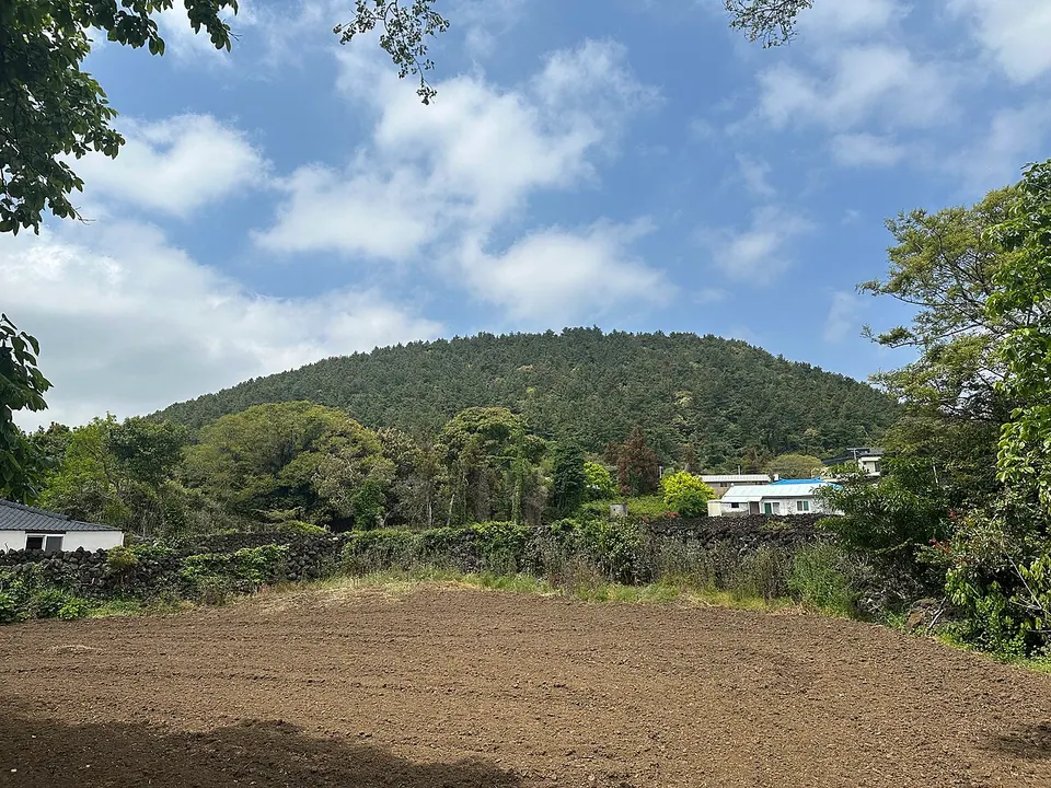
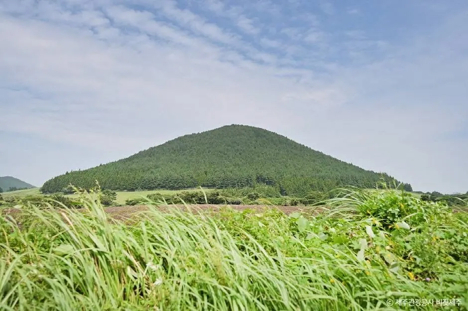
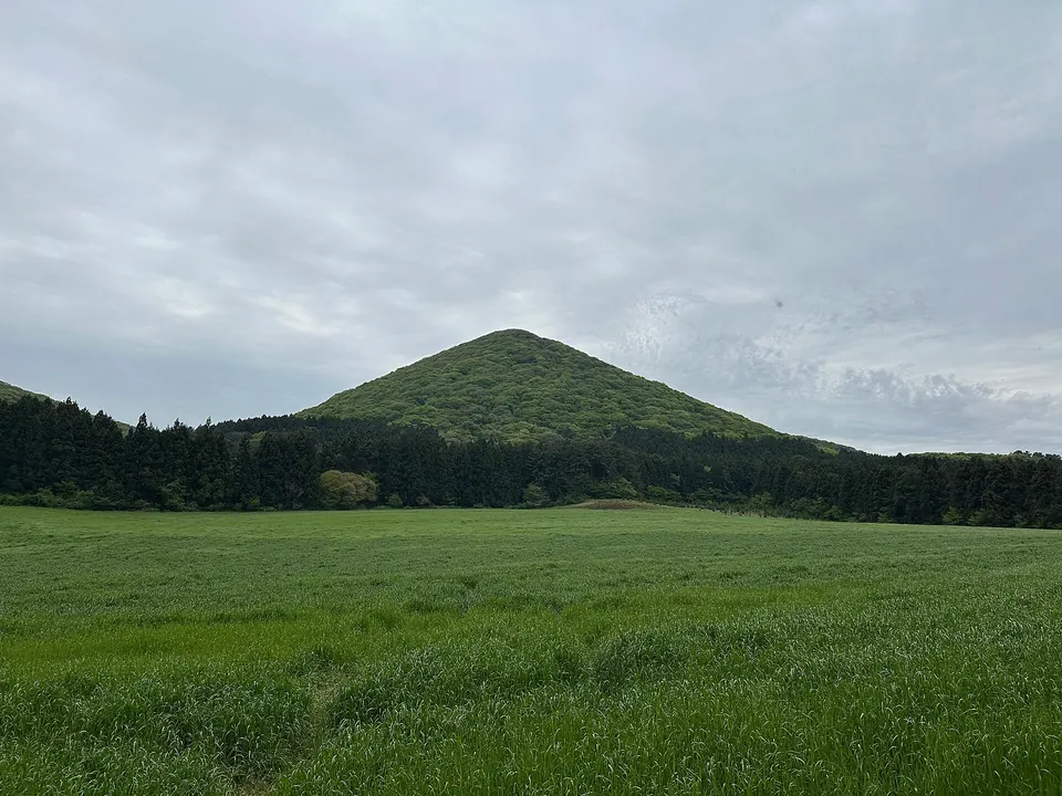
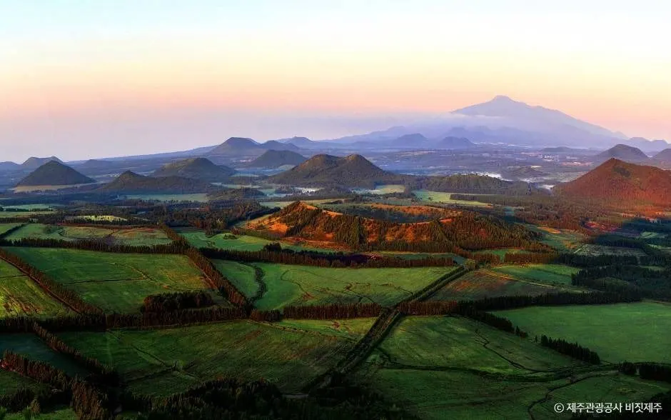
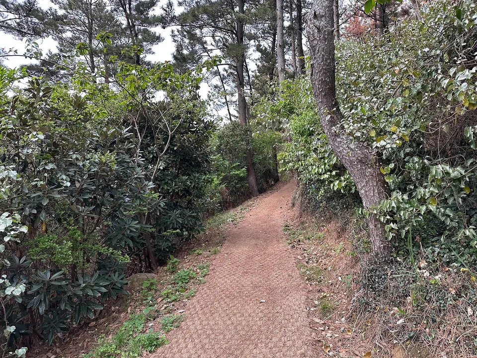
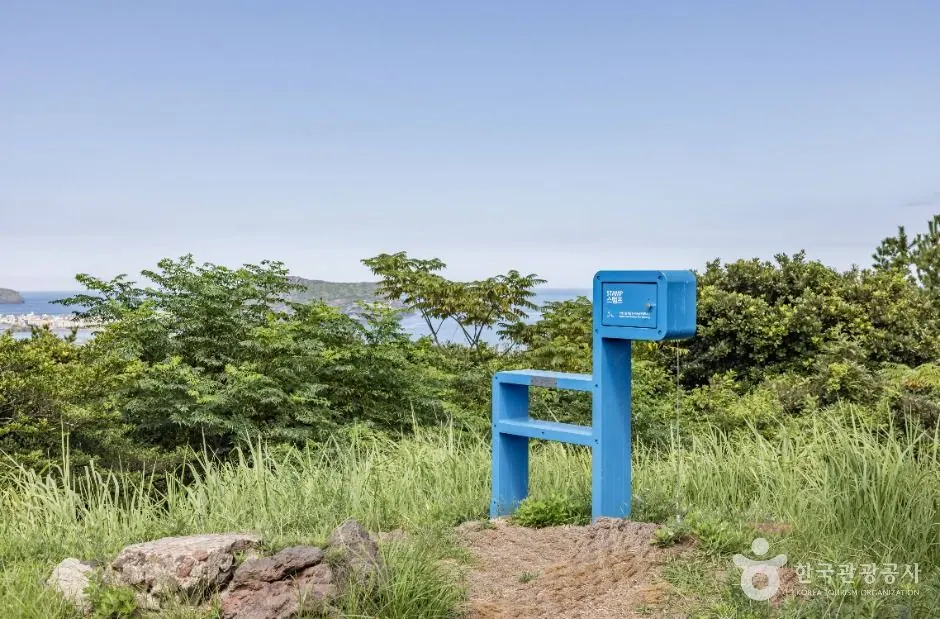
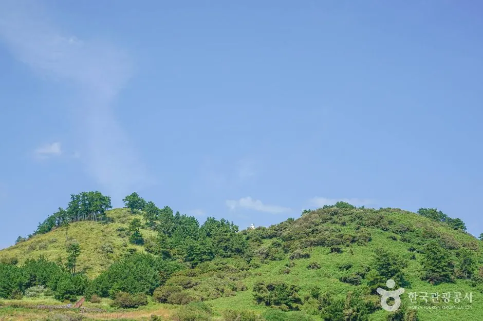
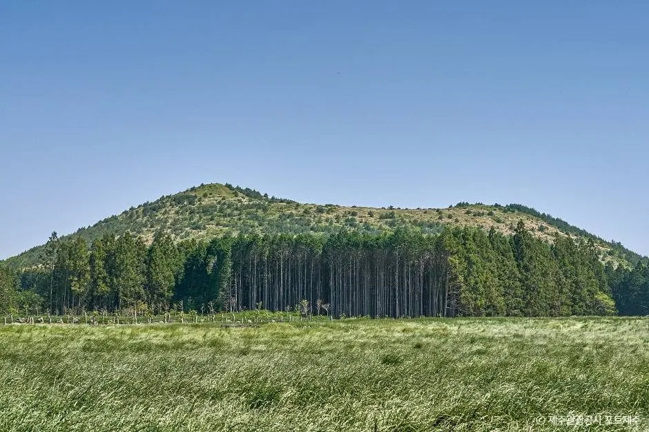
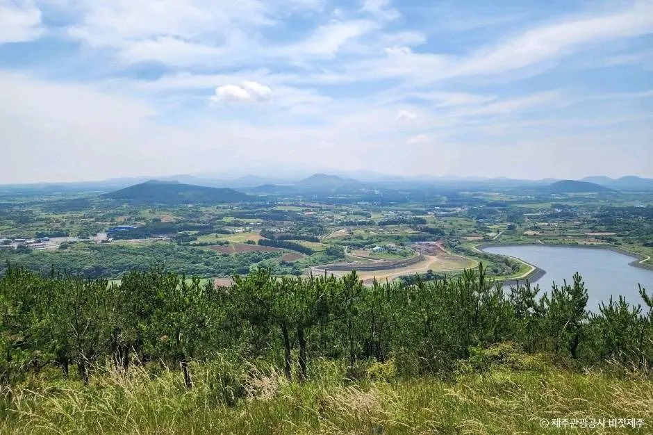
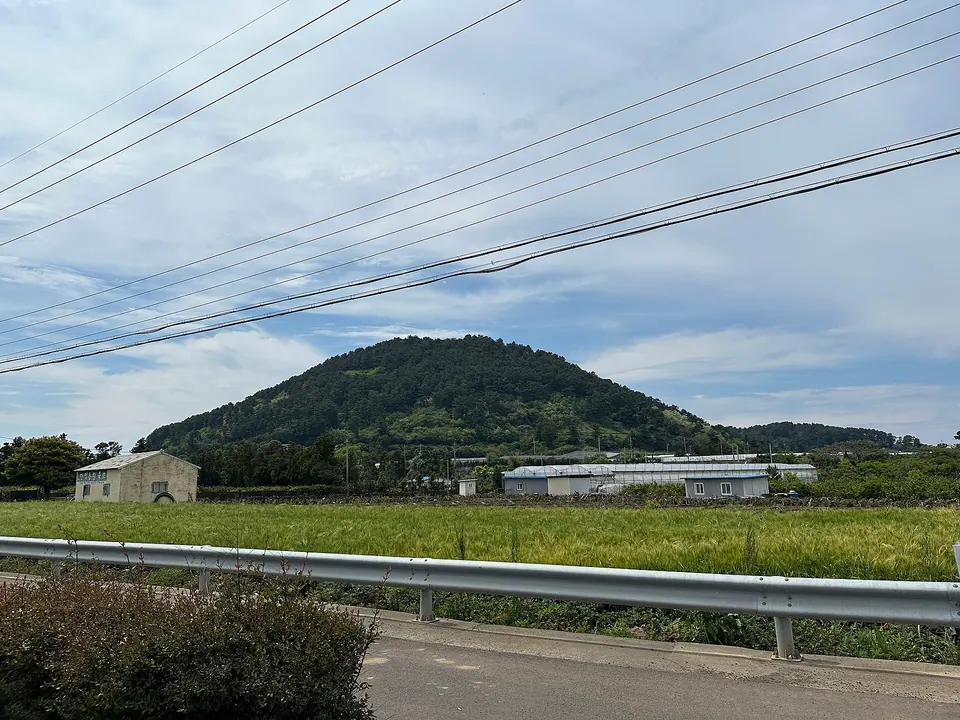
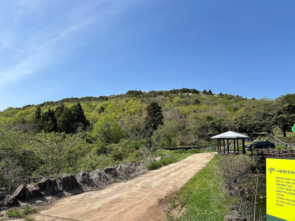
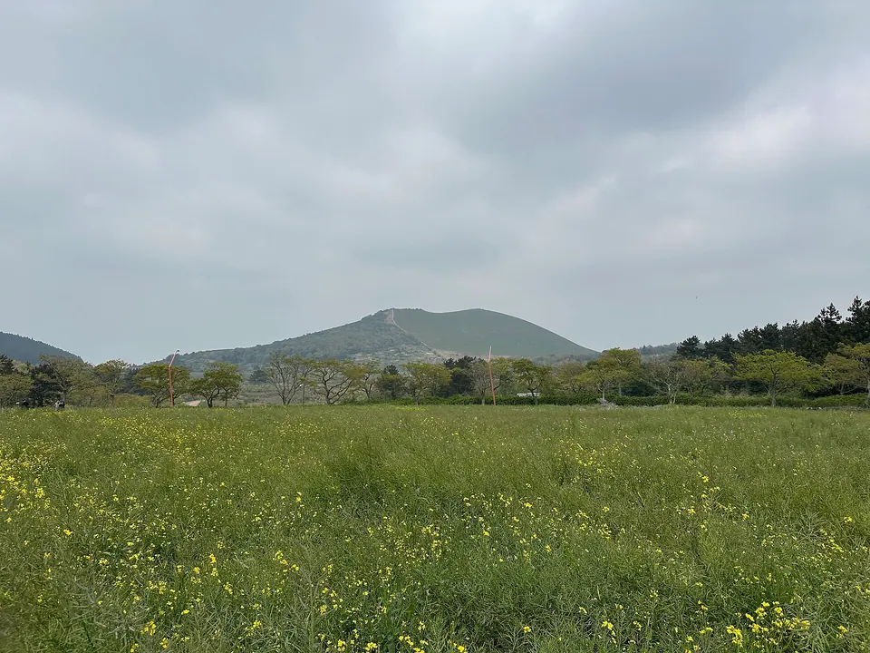
Dodubong Peak
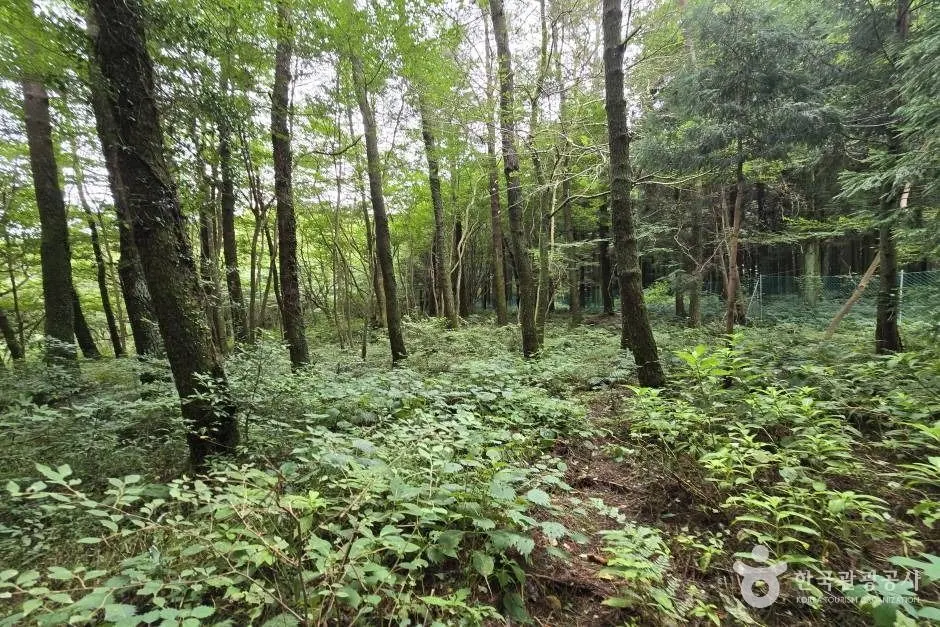
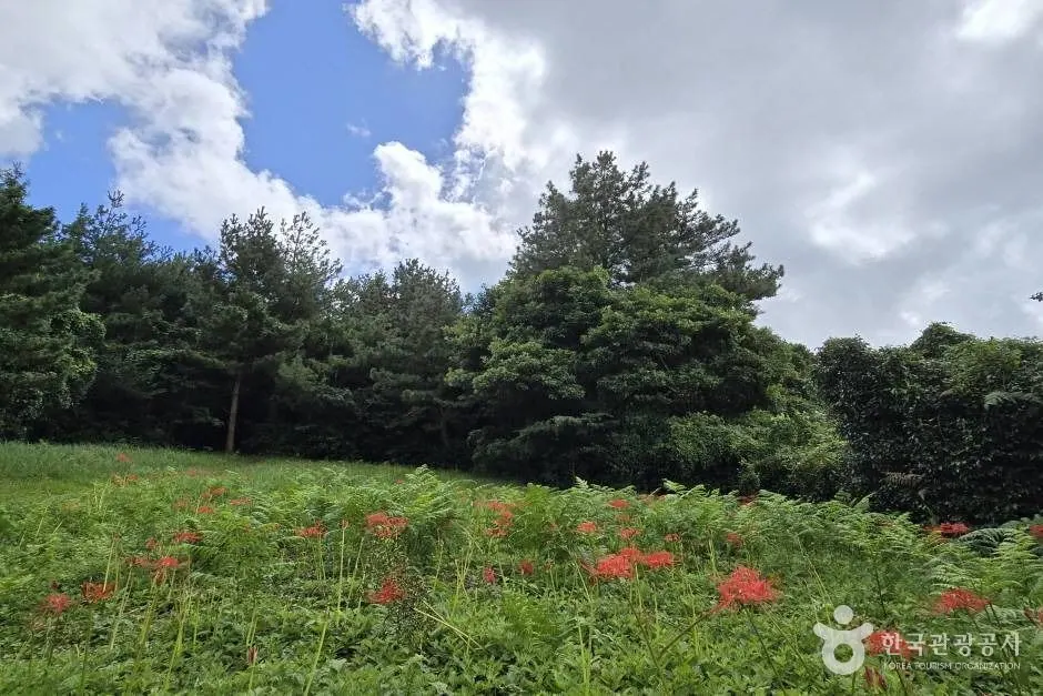
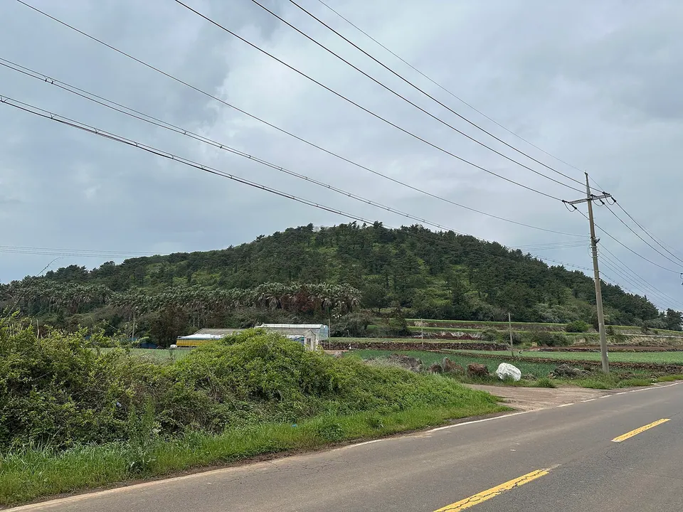
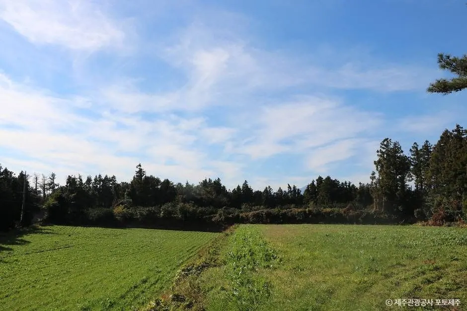
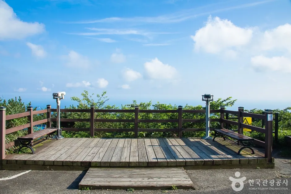
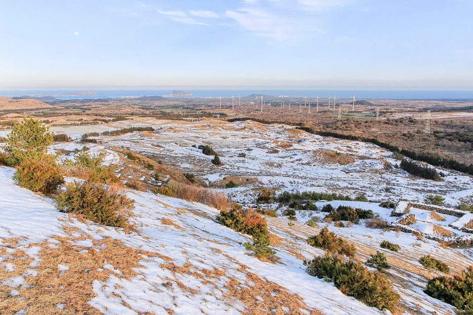
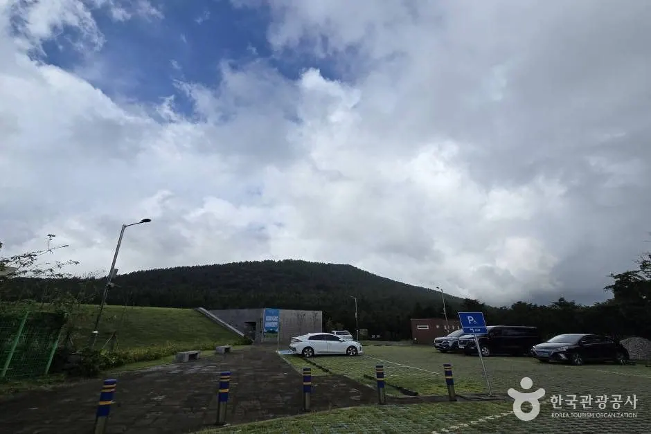
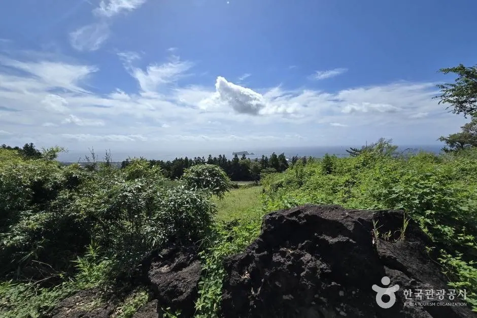
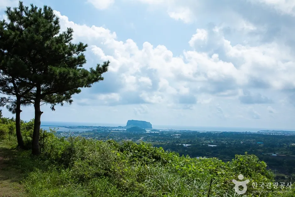
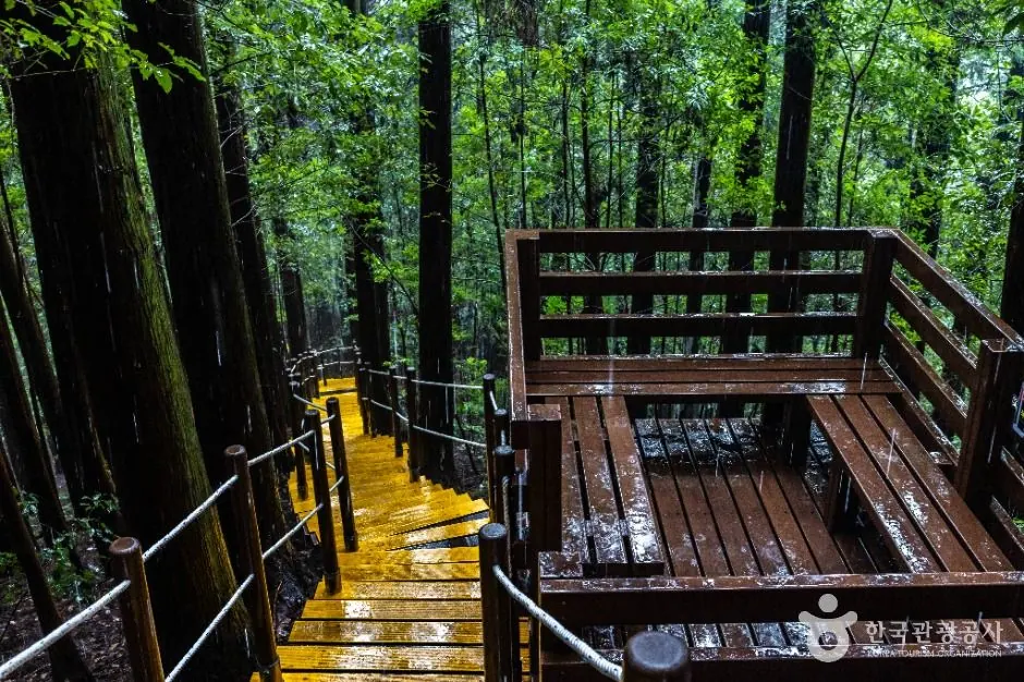
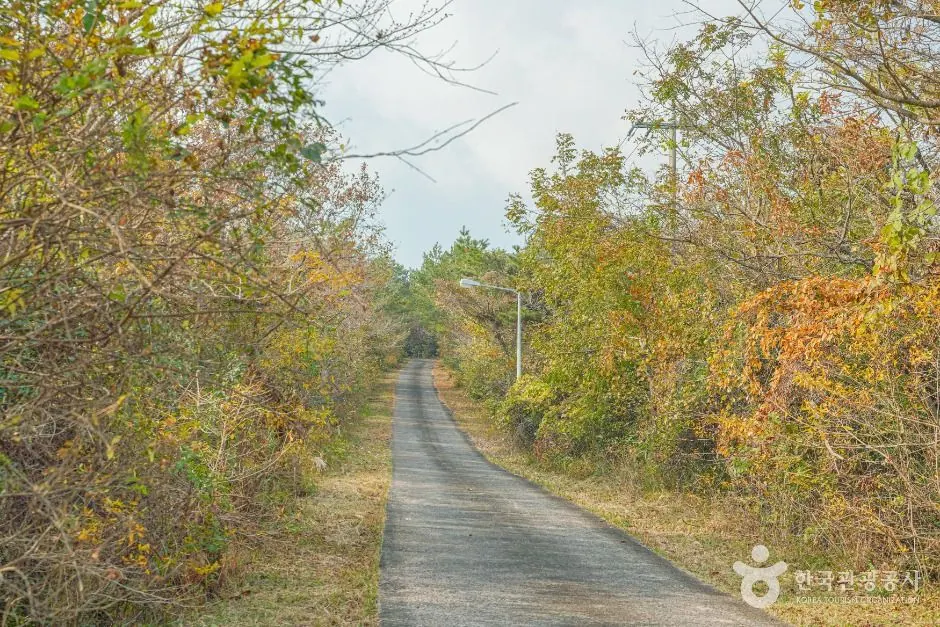
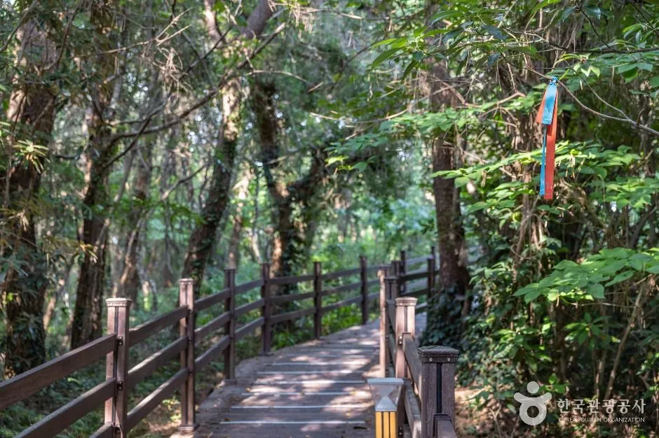
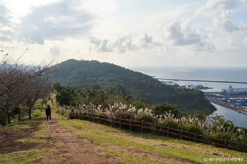
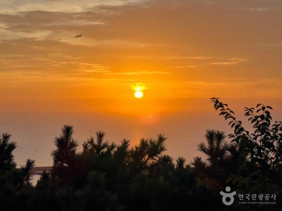
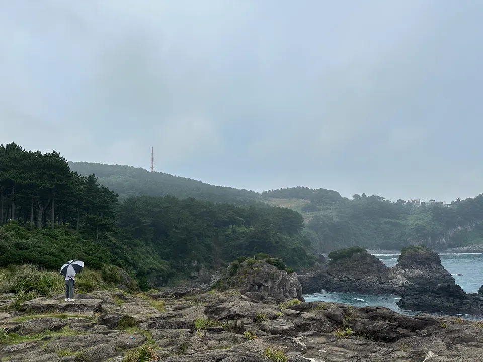
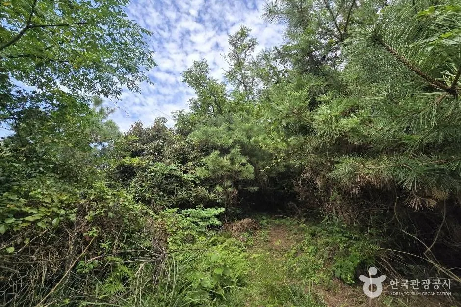
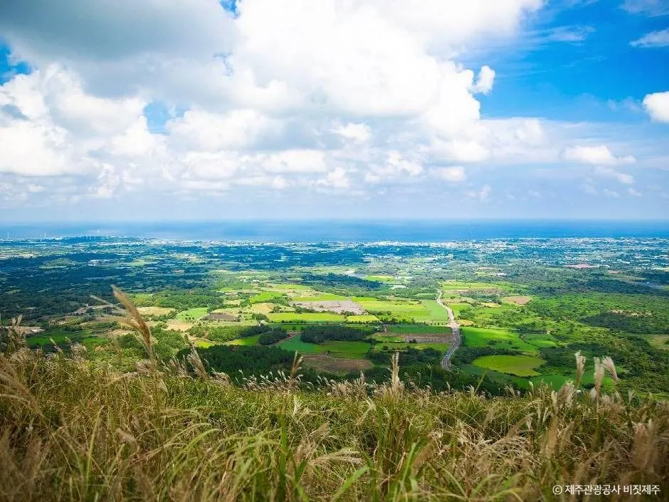
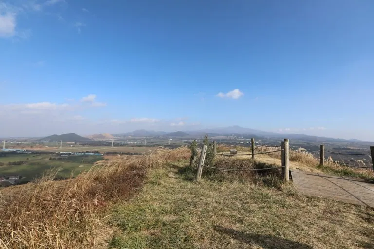
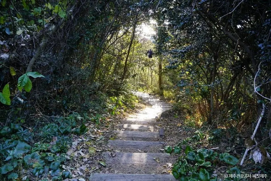
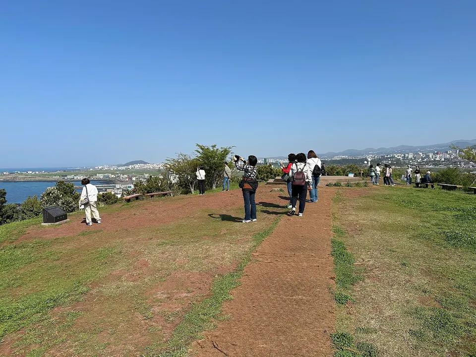
Climb this low volcanic hill for a view taking in Jeju Airport’s runway and the sea to the north.
JEJU OREUM GUIDE
Low hills overlooking the sea, forested craters and ridges covered in silver grass. Check walking times, slopes and open sections, then explore one or two at a relaxed pace each day.
Travel planning at a glance
Choose an oreum by considering slopes, trail surfaces, wind and open sections, as well as distance. Rules vary: Geomun Oreum has reserved guided walks, parts of Baekyaki Oreum’s summit are restricted, and Mulchat Oreum is closed to general visitors. Check official guidance.
| The day you want | Oreum to consider | Suggested visit duration | What to consider |
|---|---|---|---|
| A short walk near the city and sea | Dodubong Peak, Seoubong Peak | About 45–90 minutes per hill | Even low volcanic hills have steps and slopes. These combine well with a beach visit. |
| Ridges and craters | Yongnuni Oreum, Abu Oreum Volcanic Cone | About 45–90 minutes per hill | Stay on designated paths; do not enter grassland or craters. |
| Autumn silver grass and views | Saebyeol Oreum, Geum Oreum | About 1–1.5 hours per hill | Even short routes have climbs, with little shade and exposure to the wind. |
| A deep crater and a bigger climb | Darangswi Oreum | About 1.5–2 hours | Allow extra time and prepare for a steep climb and wind on the ridge. |
| Forest and views together | Jeoji Oreum | About 1–1.5 hours | Choose your route by distinguishing the gentle perimeter path from the steps to the summit. |
| Guided interpretation and volcanic landforms | Geomun Oreum | About 1–3.5 hours, depending on the route | Follow advance booking and guided walk rules. Same-day registration on site is available only when places remain. |
These times and the easy, moderate and high difficulty labels are editorial planning guides that include photos and rests. They are not official safety ratings or guaranteed completion times. Allow extra time for vehicle access and waiting. “Easy” does not mean step-free or suitable for strollers.
A volcanic hill with a crater wetland, currently closed to general visitors under an ecological rest period.
Do not include it in a walking itinerary until a separate notice lifts the restriction. Using Saryeoni Forest Trail does not permit entry to Mulchat Oreum.
Mulchat Oreum access restrictions ↗| Volcanic hills | Information checked | Official source |
|---|---|---|
| Yongnuni Oreum | The ecological rest period ended on 2023-07-01. Use designated trails only and check for any separate restrictions on your visit date. | Yongnuni Oreum ↗ |
| Baekyaki Oreum Volcanic Cone | Some of the highest summit area has been under an ecological rest period since 2024-08-01, until further notice. Use only the other open routes. | Baekyaki Oreum Volcanic Cone ↗ |
| Geomun Oreum | Advance bookings must be requested by 17:00 the previous day. Same-day registration on site is available only when places remain. Check Tuesday and holiday closures, weather restrictions and footwear rules. | Current Geomun Oreum visitor information ↗ |
| Sanbangsan Mountain | Only the visitor path from the ticket office to Sanbanggulsa Temple is listed as open. Do not plan it as a general hiking route to the summit. | Sanbangsan Mountain ↗ |
| Songaksan Mountain | The summit area and summit trail are listed as closed until 2027-07-31. Use only the open coastal circuit. | Songaksan Mountain ↗ |
Official tourism and operator information checked on 2026-10-14. This was not a comprehensive check of access to every oreum on that day. Private land restrictions, construction, vegetation restoration, fire precautions and weather restrictions may change.
Bring shoes with good grip, water and a windproof layer, plus a sun hat in summer. Mud, wet grass and ice can make even small volcanic hills slippery. Plan to descend before sunset. For sunrise or sunset photography, consider dark approach paths and strong winds too.
Oreum may include private pasture and spaces used by local residents. Use designated car parks and trails; do not cross fences or climb stone walls. Do not approach or feed horses and cattle. Check each oreum’s rules for dogs separately. A beautiful crater is not necessarily open for entry.
If travelling by bus, check how far the stop found under the oreum’s name is from the actual entrance. The return approach and bus waiting time may take longer than the walk itself.
Visit durations are planning estimates for walking and resting within each location. Check the visitor guide linked from each card alongside the official introduction for reservations, restrictions and entrances.
Jeju City and the north · Volcanic hills
Climb this low volcanic hill for a view taking in Jeju Airport’s runway and the sea to the north.
East · Volcanic hills
A World Natural Heritage site overlooking the crater of a volcanic tuff cone formed by eruptions at sea, together with Jeju's eastern coast.
East · Volcanic hills
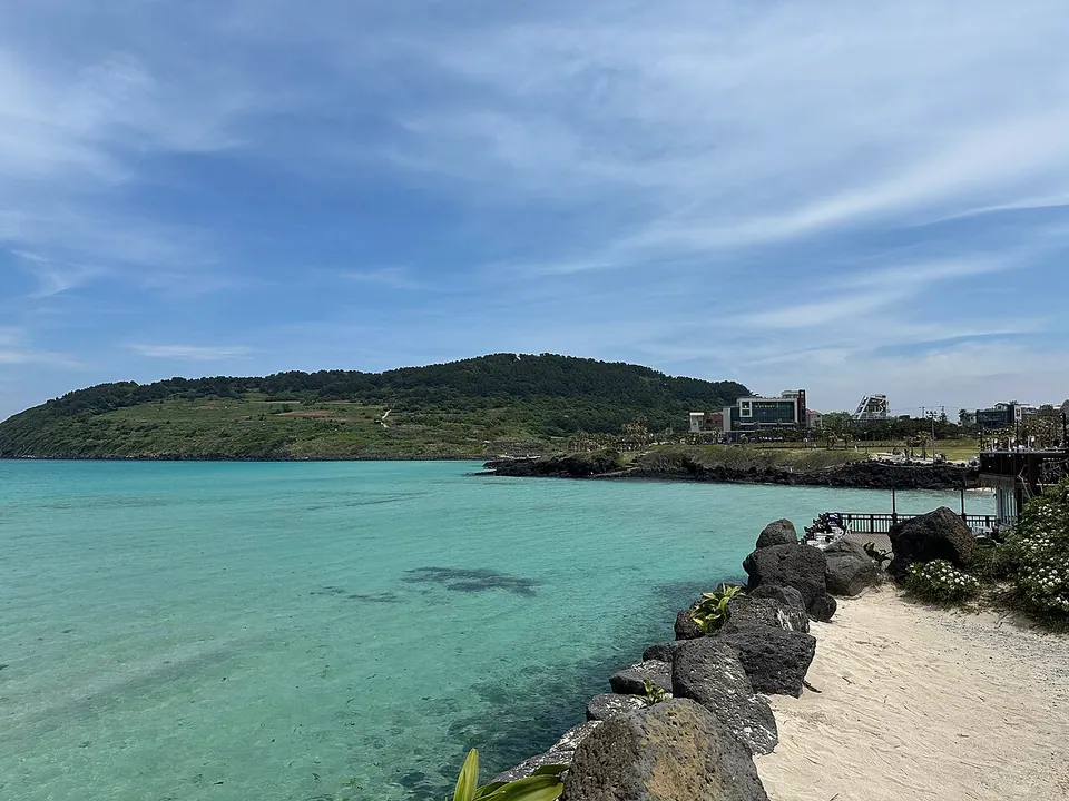
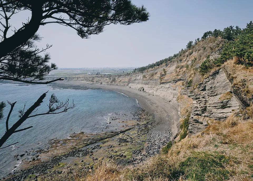
This coastal volcanic hill overlooks the sea at Hamdeok, adding a climb and wider views to a beach walk.
East · Volcanic hills
A World Natural Heritage site where guided walks explore the crater and forest of the volcano that formed the lava tube system.
East · Volcanic hills
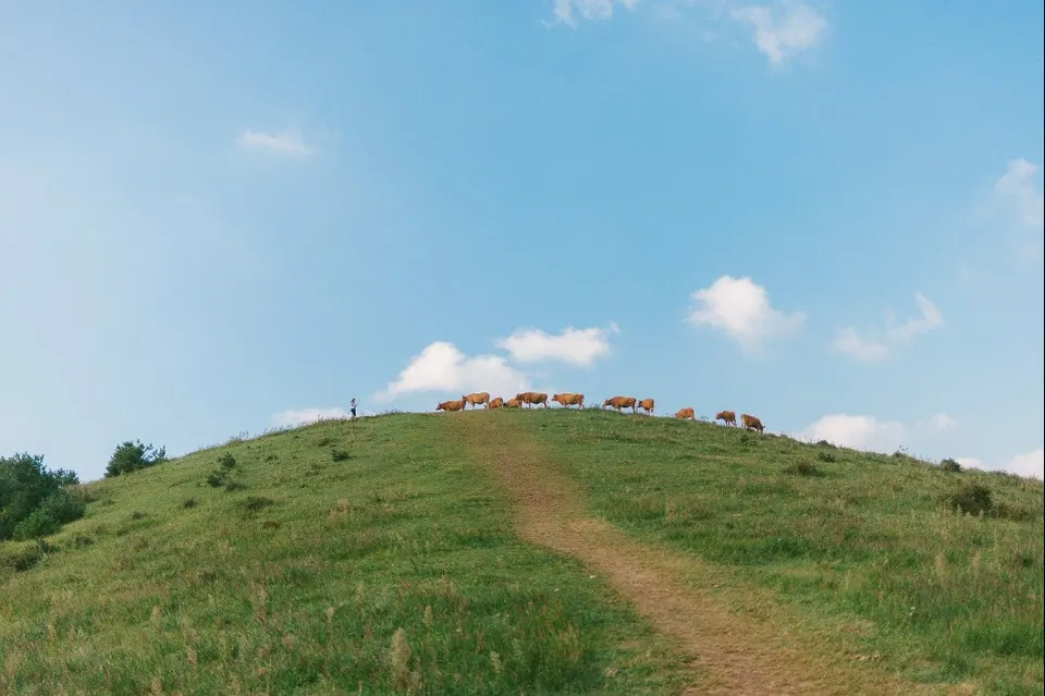
Gently rolling grassy ridges offer views of eastern Jeju’s volcanic hills and toward Seongsan and Udo.
East · Volcanic hills
A large volcanic hill in Gujwa with a deep, distinct crater and views of the surrounding volcanic hills.
East · Volcanic hills
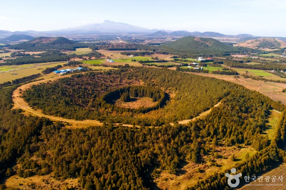
A volcanic hill in Songdang with close views of the Japanese cedar forest inside its round crater and the low ridgeline.
East · Volcanic hills
View the volcanic hills of eastern Jeju’s uplands from the stepped trail and the rim of the circular crater.
West · Volcanic hills
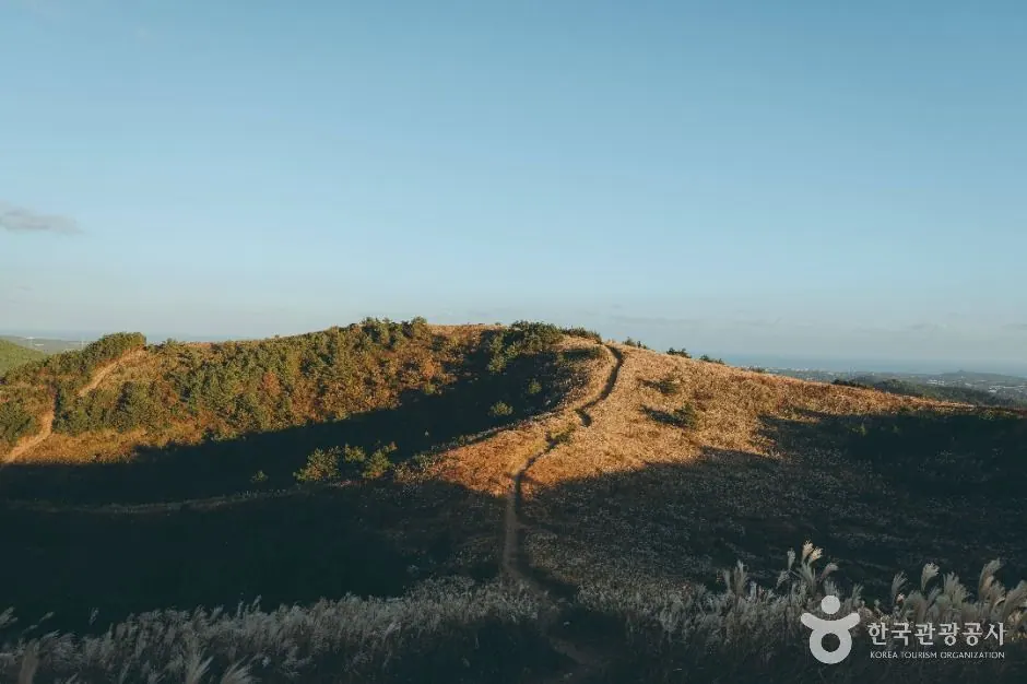
A volcanic hill in Aewol with autumn silver grass and open views across western Jeju’s uplands.
West · Volcanic hills
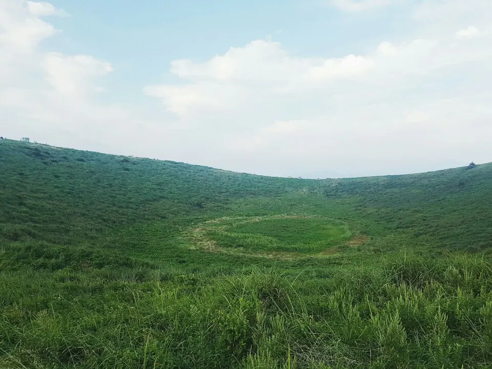
Known for its crater ridge and views over western fields; water sometimes collects in the crater after rain.
West · Volcanic hills
Walk this forested volcanic hill and look out toward Hallasan, western volcanic hills and the sea from the observation deck.
West · Volcanic hills
Walk the coastal circuit with views of Sanbangsan and islands to the southwest, and look for traces of wartime sites.
West · Volcanic hills
A large volcanic hill on the southern coast with wide views toward Daepyeong, Jungmun and Sanbangsan.
West · Volcanic hills
Its name is said to come from its resemblance to an overturned cauldron. The hill links the two peaks of Keungama and Jageungama.
East · Volcanic hills
A volcanic hill in Gasi-ri’s uplands with a crater opening to the southwest. Nearby Guduri, Bulgeun and Chetmang Oreum help illustrate this area’s volcanic landscape.
East · Volcanic hills
A volcanic hill elongated from east to west, with steep northern and southern slopes and relatively gentle terrain to the east.
West · Volcanic hills
A volcanic hill among the farmland of Dongil-ri, said to have been named for the many thorny trees that once grew here.
East · Volcanic hills
A volcanic hill in Gasi-ri, elongated north to south with a crater opening to the southwest.
East · Volcanic hills
Gae Oreum in Seongeup-ri is a conical volcanic hill with Japanese cedar covering its slopes. Grassland is limited to parts of the summit area.
Seogwipo and the south · Volcanic hills
Georinsaseum is a volcanic hill in the uplands of Daepo-dong, Seogwipo. Stories about its name include its divided shape and its resemblance to a deer.
East · Volcanic hills
Also known as Geomi Oreum or Donggeomeuni Oreum, this complex volcanic landform has a different outline when viewed from different directions.
East · Volcanic hills
A volcanic hill in Songdang-ri named for the story that its spring flows toward Hallasan rather than toward the sea.
Seogwipo and the south · Volcanic hills
A volcanic hill in Seogwipo whose name is associated with the story of a solitary mountain without high peaks nearby.
East · Volcanic hills
Guduri Oreum in Gasi-ri has a ridge elongated north to south and a crater to the east.
West · Volcanic hills
Gwetmul Oreum in Yusuam-ri is known for water emerging near its crater and stories about the Jeju words gwe and mul.
West · Volcanic hills
Jokeunnokkome is an oreum in Yusuam-ri beside Keun Nokkome, with both craters oriented to the northwest.
West · Volcanic hills
Keun Nokkome rises relatively high above the surrounding ground, with a hike through forest leading to ridge views.
East · Volcanic hills
Nopeun Oreum in Songdang-ri retains much of its original volcanic form and summit crater.
West · Volcanic hills
Neujiri Oreum in Sangmyeong-ri offers views across western volcanic hills, villages and the sea.
West · Volcanic hills
Dansan is a rocky volcanic hill west of Sanbangsan, formed from the remnants of an eroded tuff cone.
East · Volcanic hills
Daesusanbong, also called Keunmulmoe, is a former beacon hill in Goseong-ri, Seongsan.
East · Volcanic hills
Dusanbong, known as Malmi Oreum, overlooks Siheung-ri’s fields and stone walls and the sea at Seongsan.
East · Volcanic hills
Ttarabi Oreum in Gasi-ri has three closely grouped craters and ridges linking several peaks.
East · Volcanic hills
Moguri Oreum in Nansan-ri has an east–west ridge and a crater to the southeast.
West · Volcanic hills
Moseulbong stands prominently above the Daejeong plain. It is also known as Moseulgae Oreum and has a history as a beacon hill.
Seogwipo and the south · Volcanic hills
Mulyeongari in Sumang-ri is known for the summit wetland in its circular crater.
Seogwipo and the south · Volcanic hills
Miaksan, also called Ssal Oreum or Sol Oreum, is a forested volcanic hill in Donghong-dong’s uplands.
Seogwipo and the south · Volcanic hills
Beritnae Oreum in Jungmun takes its name from the deep valley of Jungmuncheon Stream.
Jeju City and the north · Volcanic hills
Byeoldobong is a volcanic hill in Jeju City, also known as Beri Oreum, a name derived from its coastal cliffs.
Islands off Jeju · Volcanic hills
Biyangbong is the central volcanic hill of Biyangdo off Hallim, with two recorded craters.
Jeju City and the north · Volcanic hills
Sarabong in Geonip-dong, Jeju City, has a name associated with the light at sunset.
Seogwipo and the south · Volcanic hills
Sammaebong is a park and volcanic hill near central Seogwipo, with views toward Hallasan and the sea.
West · Volcanic hills
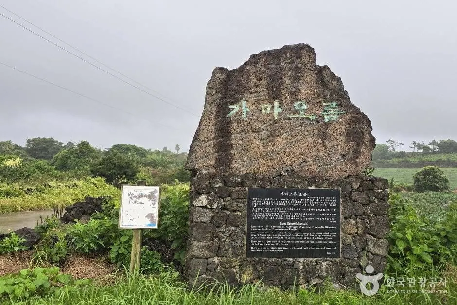
Saesin Oreum in Cheongsu-ri is a neighbour of Gama Oreum, interpreted as having formed at around the same time.
West · Volcanic hills
Seotal Oreum and Dongal Oreum are described as low remnants of a larger volcanic landform that collapsed.
East · Volcanic hills
Seongbul Oreum in Songdang-ri takes its name from Seongbul Spring in the crater and stories of a former temple.
East · Volcanic hills
Sonji Oreum, also called Sonjabong, has an east–west elongated form and a circular crater.
East · Volcanic hills
Akkeun Darangswi has a Jeju-language name meaning a volcanic hill smaller than Darangswi.
East · Volcanic hills
Andol Oreum in Songdang-ri is distinguished from Batdol Oreum by a name referring to its position on the inner, Hallasan side.
East · Volcanic hills
Yeongjusan in Seongeup-ri has a horseshoe-shaped crater opening to the east.
Jeju City and the north · Volcanic hills
Wondangbong in Samyang is identifiable by its overlapping peaks and the five-storey stone pagoda at the Wondangsa temple site.
West · Volcanic hills
Wonsuak, also called Wonmul Oreum, takes its name from Wonmul Spring to the south and stories of former lodgings for officials.
Seogwipo and the south · Volcanic hills
Iseungak is elongated from east to west, with a distinctive horseshoe-shaped crater on its eastern side.
West · Volcanic hills
Jeongmul Oreum is named after twin springs called Jeongmul at its northwestern base.
East · Volcanic hills
A volcanic hill in Jongdal-ri with a name associated with the story of Jeju Island’s tail.
East · Volcanic hills
Tong Oreum is a low volcanic hill divided into several peaks in Nansan-ri, next to Dokjabong.
Seogwipo and the south · Volcanic hills
Jejigi Oreum is a small volcanic hill near the sea in Bomok-dong. The official government introduction describes a maintained trail. Plan a short walk up it for views of Seopseom and Seogwipo’s southern coast.
Seogwipo and the south · Volcanic hills
Suak is a forested volcanic hill in Harye-ri, Namwon-eup, Seogwipo. Its elongated east–west shape and the different gradients of its northern and southern slopes can be observed. Jeju Province’s official oreum guide lists a trail and describes it as difficult.
Hallasan and the uplands · Volcanic hills and summit lakes
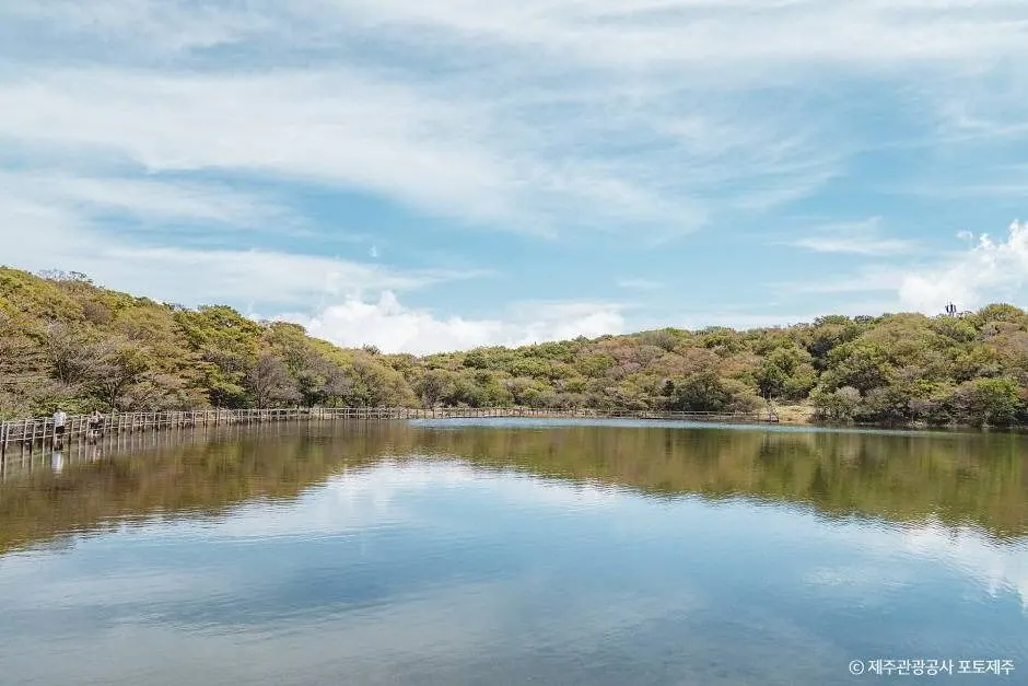
A high-altitude volcanic hill on Hallasan, reached by branching off the Seongpanak forest trail to a summit lake and viewpoint.
The amount of water in the crater varies with rainfall and the time of your visit. Choose it for the ridge and surrounding views too, rather than expecting the full crater lake seen in a photo.
The forest trail and the protected volcanic hill have separate access rules. Mulchat Oreum is listed as closed to general visitors until a separate lifting notice is issued. Stay on the permitted sections of the forest trail.
Start by considering relatively short options such as Dodubong and Abu Oreum, according to your child’s walking experience. The paths are not all level. Check wind, steps, mud and toilet availability, and turn back before the summit if needed.
Sources checked: 2026-10-14. Sources for individual places are linked from each card and the restrictions table. Full research scope and sources · Hallasan trails and reservations guide