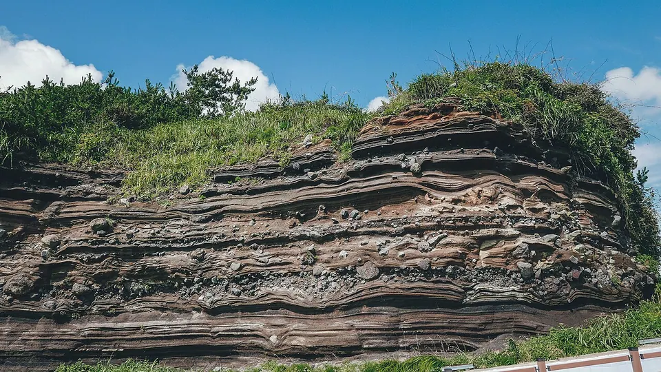
Volcanic ash layers
Explore the coastal depositional structures alongside the information boards.
West · Geology and caves
The Suwolbong Geo Trail is a geological walk along the Gosan coast combining volcanic ash layers with views toward Chagwido. Summit viewpoints and the coastal Eongal-gil follow different routes, so choose a starting point and open sections first. Do not allow the same time for the full trail and a brief coastal visit.
Travel planning at a glance
Plan Suwolbong's summit views and coastal geology visit separately. Official information lists Eongal-gil Route A as 3.3 km and about 1 hour 30 minutes; the full 10 km route is much longer. The Chagwido route is a separate itinerary involving a boat. Check coastal rockfall hazards and restricted sections.
Suwolbong Geo Trail
Operating and access information is based on the official sources below. Recommended routes and visit durations are editorial suggestions. Check each place's description to see whether waiting, meals and similar time are included, and allow separate time for travel between places.
Suwolbong Geo Trail · Official visitor information ↗ · Checked
Suwolbong is not a particularly high hill, but the volcanic ash layers exposed in its coastal cliffs are geologically significant. The bands and depositional structures formed by accumulated volcanic material offer another way to understand Jeju's volcanic landscape. A visit focused on summit views and one observing coastal layers have different purposes and starting routes.
The summit has Suwoljeong Pavilion and sea viewpoints, while coastal Eongal-gil follows cliffs with volcanic ash layers. We suggest reading the geological information boards before comparing the surrounding formations. Do not break off or collect stones as geological samples. View the layers from safe, open areas rather than moving right against them for photographs.
Explore the coastal depositional structures alongside the information boards.
Official information: 3.3 km and about 1 hour 30 minutes; exclude restricted sections.
Choose separately between summit viewpoints and the coastal starting route.
Suwolbong Geo Trail · Official visitor information ↗ · Checked
Official information lists Route A, Eongal-gil, as 3.3 km and about 1 hour 30 minutes, and the full geological trail as 10 km and about 4 hours 30 minutes. Do not present the full itinerary including Dangsanbong and Chagwido as the time needed for a short Suwolbong walk. Choose your sections for the day according to your actual starting point and time for photography and breaks.
The Chagwido route includes an island, so you cannot simply continue walking there from the coast. Plan it separately after checking boats, boarding and return times. First choose whether to visit only the summit viewpoints or walk Eongal-gil as well. Prepare a shorter alternative focused on summit views and information if the coast is restricted.
Suwolbong Geo Trail · Official visitor information ↗ · Checked
Below the coastal cliffs, prioritize rockfall and high-wave hazards and on-site restriction signs. Do not cross closed sections to reach information boards or photo spots. With children, we suggest observing the rock layers from a distance. Where walking routes overlap with bicycles or vehicles, check traffic before taking photographs.
Do not assume shade and rest facilities continue along the whole route; we suggest water, a hat and comfortable walking shoes. Even at this sunset destination, allow enough time to return safely rather than taking a long walk along the entire coast at dusk. In rain or strong winds, keep away from the cliffs and shorten your visit.
Suwolbong Geo Trail · Official visitor information ↗ · Checked
Set Suwolbong in Gosan, Hangyeong-myeon, as your destination, then check the summit viewpoints and Eongal-gil starting route separately. Vehicle-access points on public roads may differ from the actual walking sections; do not drive to the end of the coast based only on the surrounding terrain. Bus visitors should allow for both the walk to the coast and return services.
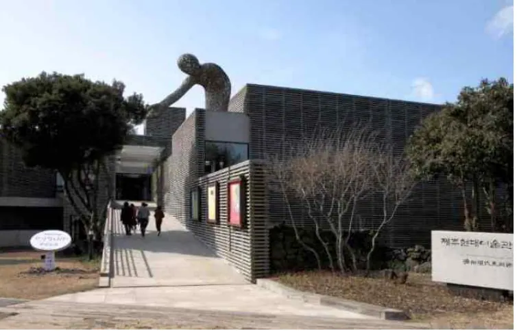
Sinchang Windmill Coastal Road offers different views along the same western coast, while Jeju Museum of Contemporary Art in Jeoji is an exhibition option after the geological walk. Gosan, Sinchang and Jeoji require separate journeys, so do not combine them as one walking route. Our suggested itinerary focuses on one coastal section, adding one contrasting stop if time remains.
Visitor location · 제주특별자치도 제주시 한경면 노을해안로 1013-70
Suwolbong Geo Trail · Official visitor information ↗ · Checked
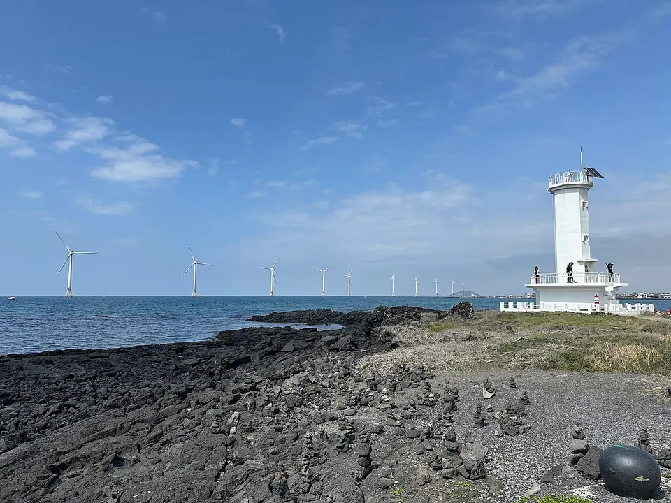
An option for comparing western sea views and wind turbines; allow for a separate car or bus journey.
Visitor guide →An exhibition option in Jeoji after a Gosan geological walk; check closing days and last admission.
Visitor guide →Official information lists Eongal-gil Route A as 3.3 km and about 1 hour 30 minutes, and the full 10 km route as about 4 hours 30 minutes. Times vary with the section you choose and your breaks.
A summit-viewpoint visit and viewing the layers along Eongal-gil are different options. Choose your visit's scope according to your energy, time and coastal restrictions on the day.
Chagwido is a separate island itinerary requiring checks on boarding and return sailings. Do not plan it as part of the same continuous coastal walk.
Rockfall, waves and on-site restrictions can change which areas are accessible. Do not cross barriers or press close to the layers for photographs.