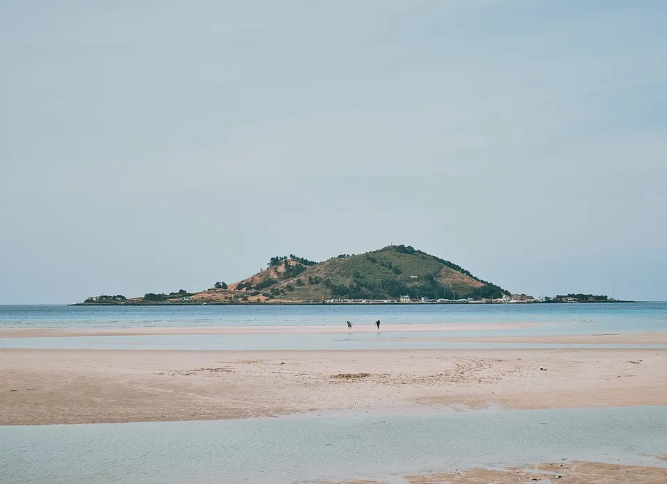
Geumneung Beach
Visitor information for an actual waypoint on this Olle route. Check admission to attractions and individual activities separately from your walking itinerary.
Visitor guide →Western Jeju · Olle and walking routes
From Jeoji, this route passes through woodland, farm roads and Wolryeong before reaching the sea toward Geumneung, Hyeopjae and Hallim. Different western landscapes follow one another, including Wolryeong-ri's native cactus habitat and Biyangdo across the water. A trip to Biyangdo requires a ferry itinerary separate from walking Olle Route 14.
Travel planning at a glance
Jeju Olle Route 14 is the Jeoji–Hallim Olle route, covering 19.9 km. The official suggested walking time is 6-7 hours and the difficulty rating is moderate. The start and finish are different, so arrange return transport or travel to the port separately.
Operating and access information is based on the official sources below. Recommended routes and visit durations are editorial suggestions. Check each place's description to see whether waiting, meals and similar time are included, and allow separate time for travel between places.
A route from Jeoji through woodland, farm roads and Wollyeong, emerging at the coast toward Geumneung, Hyeopjae and Hallim.
Different western landscapes follow one another, including Wolryeong-ri's native cactus habitat and Biyangdo across the water. A trip to Biyangdo requires a ferry itinerary separate from walking Olle Route 14.
Current official route information lists a length of 19.9 km, a suggested walking time of 6-7 hours and a moderate difficulty rating. The time varies with breaks, activities, meals and your pace. If markers have changed or there is a temporary diversion, follow the operator's instructions for that day.
Jeju Olle Route 14 is a one-way route from the official start point at Jeoji to the official finish point at Hallim. 19.9 km is the length of that route, not a return journey along the same path. To get back to the start, plan return transport or additional walking separately.
At approximately 20km, this walk requires a different itinerary from a short visit to a few beaches. Adding time in the water also changes the time needed to change clothes and return to the port.
If completing all of Jeju Olle Route 14 would be too demanding, choose a shorter section that follows the on-site Olle markers and plan how to get there and back. The moderate difficulty rating does not guarantee that every section is accessible with a pushchair or wheelchair.
Jeju Olle Trail Route 14 · Official information ↗ · Checked
Jeju Olle official safety guidelines ↗ · Checked
The official route map provides separate start and finish coordinates. Start: the official start point at Jeoji (33.333666, 126.256308) · Finish: the official finish point at Hallim (33.419231, 126.262311). These coordinates identify the currently listed points; they are not street addresses. Compare them with the official route's start and finish on the map.
Before walking Jeju Olle Route 14, check buses or taxis from the official finish point at Hallim back to your accommodation or the official start point at Jeoji. The 19.9 km route does not include the return distance. Check services at your chosen bus stop for your travel date in the Jeju Bus Information System.
Route start and finish · 출발: 저지 공식 시작점 (33.333666, 126.256308) · 도착: 한림 공식 종점 (33.419231, 126.262311)
These are the start and finish coordinates provided on the operator's map. Calculate the approach distance from your chosen port or bus stop separately.
Location reference ↗Visitor information for an actual waypoint on this Olle route. Check admission to attractions and individual activities separately from your walking itinerary.
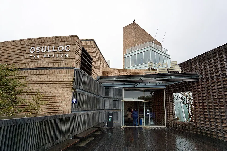
Visitor guide →After exploring Jeju Olle Trail Route 14, consider OSULLOC Tea Museum for a different setting. Check the separate journey and access conditions before adding it to your itinerary.
Visitor guide →The official route length is 19.9 km, the suggested walking time is 6-7 hours, and the difficulty rating is moderate. Total time varies with visits to attractions, meals, your pace and any current diversions.
Jeju Olle Route 14 is a one-way route from the official start point at Jeoji to the official finish point at Hallim. 19.9 km is the length of that route, not a return journey along the same path. To get back to the start, plan return transport or additional walking separately.
From Jeoji, this route passes through woodland, farm roads and Wolryeong before reaching the sea toward Geumneung, Hyeopjae and Hallim. Different western landscapes follow one another, including Wolryeong-ri's native cactus habitat and Biyangdo across the water. A trip to Biyangdo requires a ferry itinerary separate from walking Olle Route 14.
At approximately 20km, this walk requires a different itinerary from a short visit to a few beaches. Adding time in the water also changes the time needed to change clothes and return to the port. After considering the full distance, the day's weather and your child's walking experience, you can choose to walk only part of the route.