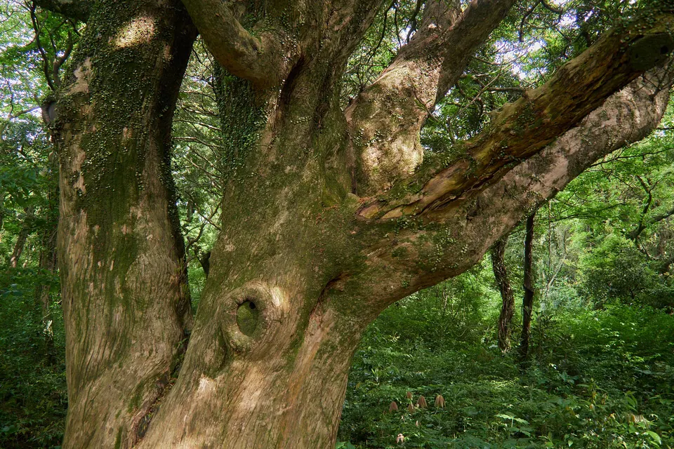
Bijarim Forest
After exploring Daesusanbong Volcanic Cone (Keunmulmoe, Mulmi Oreum Volcanic Cone), consider Bijarim Forest for a different setting. Check the separate journey and access conditions before adding it to your itinerary.
Visitor guide →East · Volcanic hills
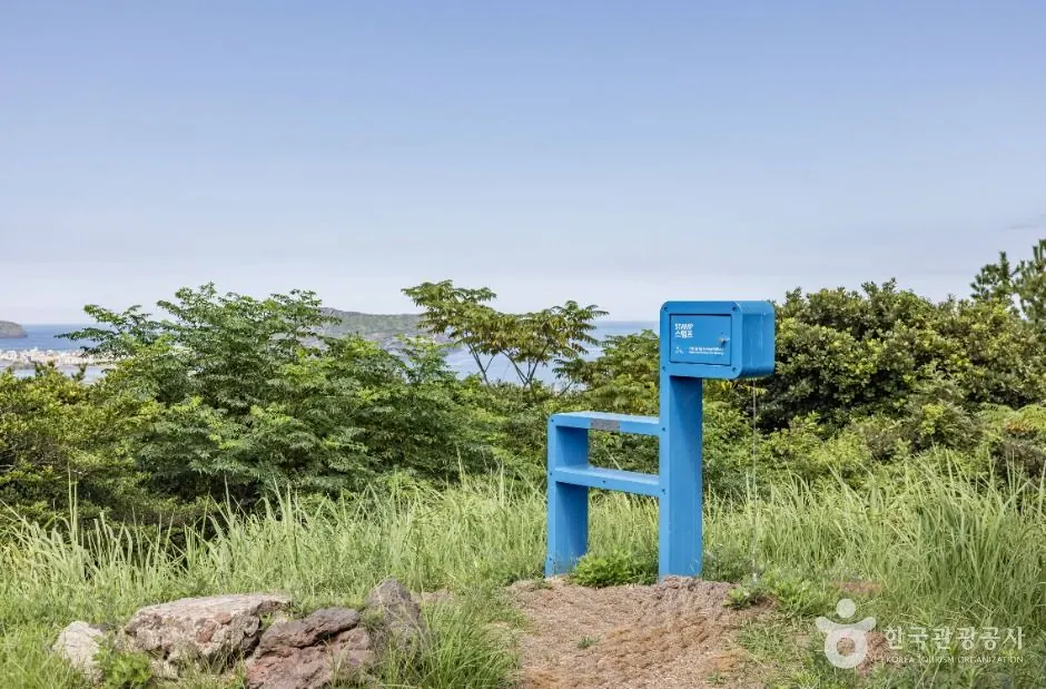
Daesusanbong, also called Keunmulmoe, is an oreum with a beacon site in Goseong-ri, Seongsan. The main views take in villages and the sea towards Seongsan Ilchulbong, Seopjikoji and Udo. Explore the beacon site while considering its communication links with Susanjin and neighbouring beacons.
Travel planning at a glance
Plan a Daesusanbong visit around designated trails in Goseong-ri, Seongsan-eup. Also called Keunmulmoe, Daesusanbong is a beacon hill in Goseong-ri, Seongsan. The elevation of 137.3m and height of 97m above surrounding ground are different from walking distance. Even when included in the list of established trails, current restrictions and private-property notices take precedence.
Operating and access information is based on the official sources below. Recommended routes and visit durations are editorial suggestions. Check each place's description to see whether waiting, meals and similar time are included, and allow separate time for travel between places.
Daesusanbong Volcanic Cone (Keunmulmoe, Mulmi Oreum Volcanic Cone) · Official information ↗ · Checked
Jeju oreum with trail facilities: 2026 status ↗ · Checked
Daesusanbong, also called Keunmulmoe, is a former beacon hill in Goseong-ri, Seongsan.
The main views take in villages and the sea towards Seongsan Ilchulbong, Seopjikoji and Udo. Explore the beacon site while considering its communication links with Susanjin and neighbouring beacons.
Daesusanbong Volcanic Cone (Keunmulmoe, Mulmi Oreum Volcanic Cone) · Official information ↗ · Checked
The official oreum inventory lists Daesusanbong at 137.3m above sea level, with a relative height of 97m from the surrounding ground to the summit. Neither figure is the hiking distance or the actual length of the ascent; consider them alongside the climbs and descents on your chosen trail.
Distinguish walking all of Jeju Olle Route 2 from an out-and-back walk to Daesusanbong alone. Do not leave the trail towards burial grounds.
Daesusanbong Volcanic Cone (Keunmulmoe, Mulmi Oreum Volcanic Cone) · Official information ↗ · Checked
Jeju oreum with trail facilities: 2026 status ↗ · Checked
At Daesusanbong, the slope at your chosen entrance and the return route affect your companions more than the elevation figure of 137.3m. With children, check the distance on entrance signs and the condition of the path, then choose a short out-and-back walk.
Residents' living and working spaces around Daesusanbong are separate from tourist routes. Do not take shortcuts through fields, burial grounds or fenced areas, and choose photo spots that do not block paths.
Daesusanbong Volcanic Cone (Keunmulmoe, Mulmi Oreum Volcanic Cone) · Official information ↗ · Checked
Jeju oreum visitor rules ↗ · Checked
The official location is 제주특별자치도 서귀포시 성산읍 고성리 2039-1 일대. This is a reference land-parcel address for Daesusanbong, and does not guarantee parking or an exact trail entrance. Compare map results for “대수산봉 성산읍 고성리” with the signs at the designated entrance on site.
After descending from Daesusanbong, include the journey back to your starting entrance in Goseong-ri, Seongsan-eup. This guide does not present the site as a visitor facility with confirmed dedicated parking or bus stops. If driving a rental car, check where parking is permitted on site. If using public transport, check the extra walk to the entrance and your return service.
Visitor location · 제주특별자치도 서귀포시 성산읍 고성리 2039-1 일대
This is the volcanic hill’s representative land-parcel address. Check the exact parking area and trailhead separately against on-site designated-trail guidance.
Location reference ↗Daesusanbong Volcanic Cone (Keunmulmoe, Mulmi Oreum Volcanic Cone) · Official information ↗ · Checked
Jeju oreum with trail facilities: 2026 status ↗ · Checked
After exploring Daesusanbong Volcanic Cone (Keunmulmoe, Mulmi Oreum Volcanic Cone), consider Bijarim Forest for a different setting. Check the separate journey and access conditions before adding it to your itinerary.
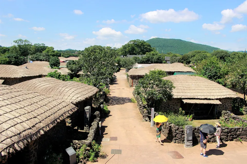
Visitor guide →After exploring Daesusanbong Volcanic Cone (Keunmulmoe, Mulmi Oreum Volcanic Cone), consider Seongeup Folk Village for a different setting. Check the separate journey and access conditions before adding it to your itinerary.
Visitor guide →The official inventory lists an elevation of 137.3m above sea level and a relative height of 97m. Relative height is the difference in height from the surrounding ground toward the summit, not a hiking distance or duration.
Daesusanbong, also called Keunmulmoe, is an oreum with a beacon site in Goseong-ri, Seongsan. The main views take in villages and the sea towards Seongsan Ilchulbong, Seopjikoji and Udo. Explore the beacon site while considering its communication links with Susanjin and neighbouring beacons.
Distinguish walking all of Jeju Olle Route 2 from an out-and-back walk to Daesusanbong alone. Do not leave the trail towards burial grounds. The latest list of established trails does not lift private-property, ranch or daily weather restrictions. Follow designated paths and on-site access notices first.
The address “제주특별자치도 서귀포시 성산읍 고성리 2039-1 일대” is the volcanic hill's reference location in the official inventory. Do not assume it identifies confirmed dedicated parking or an access road. Check the current designated entrance in Goseong-ri, Seongsan-eup and return transport separately.