Eastern Oreum (volcanic cone)gun view
Compare the shapes and heights of neighboring hills from open viewpoints.
East · Volcanic hills
Baekyaki Oreum overlooks the eastern upland hills near the boundary between Seongeup-ri in Pyoseon and Songdang-ri in Gujwa. Part of its highest summit is under an ecological-rest closure, so read the signs first and choose only open sections.
Travel planning at a glance
Baekyaki Oreum offers a circular crater and views of neighboring hills. Official information lists restrictions on part of the highest summit from August 1, 2024 until a separate notice. Use the remaining open routes and prepare for the absence of toilets and an information office. The suggested 1–1.5 hours is an editorial walking estimate.
Baekyaki Oreum Volcanic Cone
Operating and access information is based on the official sources below. Recommended routes and visit durations are editorial suggestions. Check each place's description to see whether waiting, meals and similar time are included, and allow separate time for travel between places.
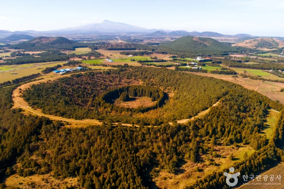
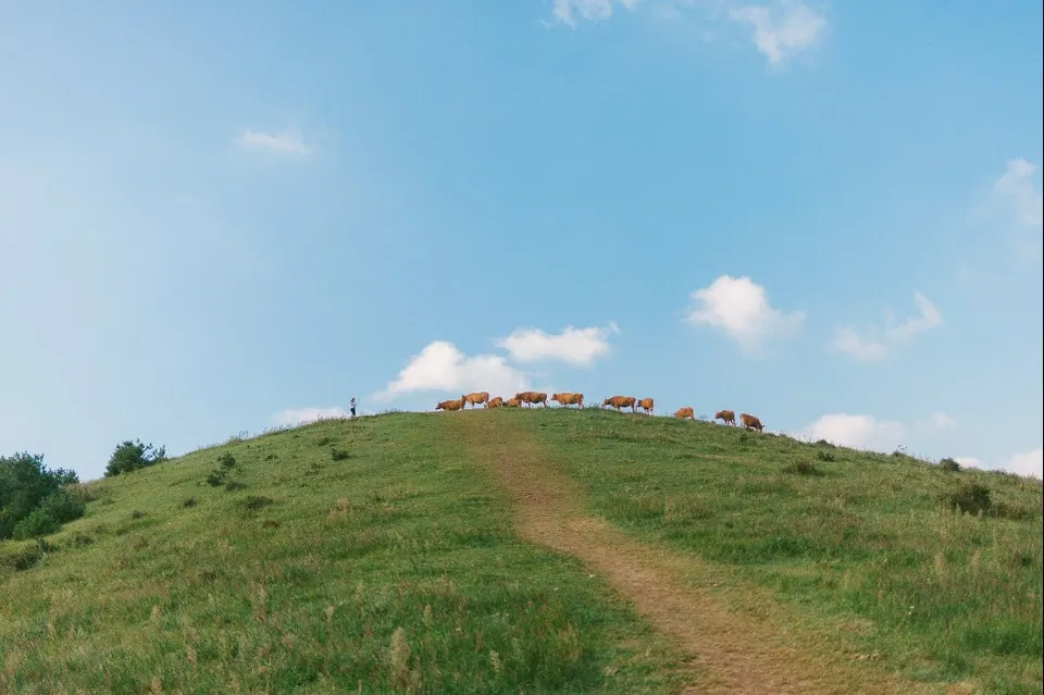
Baekyaki Oreum in Pyoseon is said to take its name from the many medicinal herbs growing naturally there. Its features include a round crater and views across the eastern upland hills. Compare their heights and shapes to understand the connected landscape of Jeju’s eastern volcanic hills as well as taking view photos.
Official information describes views of surrounding hills including Jwabomi, Donggeomi, Munseogi, Nopeun Oreum and Abu Oreum. Actual views depend on weather, vegetation and accessible viewpoints. Adjust expectations for autumn silver grass to its growth on your visit date, and do not assume that a high summit shown in a photo is currently open.
Compare the shapes and heights of neighboring hills from open viewpoints.
Clearly distinguish the restricted highest summit area from the remaining open routes.
Official information states that the ecological-rest closure on part of the highest summit area was extended from August 1, 2024 until a separate notice. It says the rest of the route, excluding that summit area, is open for access and climbing. Avoid assuming either that the whole hill is closed or that its highest point is freely accessible; check the on-site boundary of the open area.
Allow 1–1.5 hours as an editorial estimate for the open walk and views. Official estimates of about 30–40 minutes out and back, plus about 30 minutes for the surrounding trail, refer to walking sections. Also account for photos, breaks and current closure boundaries. Choose your turnaround point and return time before departure, and do not bypass closed sections to reach the highest point.
Official visitor information states that Baekyaki Oreum has no toilets or visitor information office. Use a toilet before setting out and bring water, suitable shoes and an outer layer for the weather. Complete your preparations in the village before walking rather than expecting easy access to advice and facilities on site.
Autumn silver grass and grassy ridges are exposed to sun and wind. Do not enter protected vegetation or restricted areas for photos. With children or parents, assess their ability to manage slopes and steps. In poor visibility from rain or fog, our suggestion is a short, safe return walk rather than insisting on distant views.
Find Baekyaki Oreum’s designated trail entrance on a map. Use current parking and walking guidance rather than relying only on older descriptions of ranch roads, and do not use private access roads without permission. Bus travelers should plan the final connection, walk and return service to avoid a long wait at an entrance without facilities.
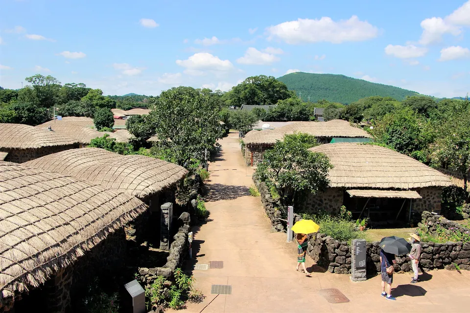
Nearby Abu Oreum offers a circular cedar grove, while Seongeup Folk Village is a living community of thatched houses and stone walls. If considering both hills, you can choose only one according to actual access, weather and fitness. Adding interpretation at Seongeup after a nature walk brings a different focus within the same region.
Visitor location · 제주특별자치도 서귀포시 표선면 성읍리 산 1
Abu Oreum’s circular cedar grove and low ridges provide an alternative to Baekyaki’s views over surrounding hills.
Visitor guide →Continue to Seongeup Folk Village after the hill walk for thatched houses, stone walls and interpretation of traditional village life.
Visitor guide →Baekyaki Oreum in Pyoseon is said to take its name from the many medicinal herbs growing naturally there. Its features include a round crater and views across the eastern upland hills. Compare their heights and shapes to understand the connected landscape of Jeju’s eastern volcanic hills as well as taking view photos.
Official information states that the ecological-rest closure on part of the highest summit area was extended from August 1, 2024 until a separate notice. It says the rest of the route, excluding that summit area, is open for access and climbing. Avoid assuming either that the whole hill is closed or that its highest point is freely accessible; check the on-site boundary of the open area.
Allow 1–1.5 hours as an editorial estimate for the open walk and views. Official estimates of about 30–40 minutes out and back, plus about 30 minutes for the surrounding trail, refer to walking sections. Also account for photos, breaks and current closure boundaries. Choose your turnaround point and return time before departure, and do not bypass closed sections to reach the highest point.
Official visitor information states that Baekyaki Oreum has no toilets or visitor information office. Use a toilet before setting out and bring water, suitable shoes and an outer layer for the weather. Complete your preparations in the village before walking rather than expecting easy access to advice and facilities on site.