Tamna Valley and Gaemideung
An early section through a valley and wooded ridge; conserve energy for the ascent.
Hallasan and the uplands · Hallasan
Gwaneumsa is Hallasan's northern route to Baengnokdam's eastern summit through deep valleys, Samgakbong and Yongjingak. It is shorter than Seongpanak but has substantial elevation changes and steep sections, so compare the physical demands separately. Check reservations and current open sections, and prepare for the long descent.
Travel planning at a glance
Gwaneumsa to Baengnokdam is 8.7 km one way and 17.4 km returning by the same trail; the official return-hike reference time is about 10 hours. A summit hike requires advance booking and identity checks. The Samgakbong–Baengnokdam section reopened on 2026-09-24, but recheck weather restrictions for your day.
Hallasan Gwaneumsa Trail
Operating and access information is based on the official sources below. Recommended routes and visit durations are editorial suggestions. Check each place's description to see whether waiting, meals and similar time are included, and allow separate time for travel between places.
Hallasan Gwaneumsa Trail · Official information ↗ · Checked
Gwaneumsa reopening notice · 2026-09-18 ↗ · Checked
Hallasan hiking reservations and restrictions ↗ · Checked
From Gwaneumsa District Campground, the trail passes Tamna Valley and Gaemideung before climbing to Samgakbong Shelter. Scenery changes markedly from forest paths to valleys and ridges, then to Yongjingak and upper rocky landscapes beyond Samgakbong. Compare steep ascents and the demands of descent as well as distance when choosing between this route and Seongpanak.
Even if Baengnokdam views are your goal, the full Gwaneumsa route cannot be treated as a casual photography outing. Hiking and descent take far longer than stops for mountain scenery. Access beyond Samgakbong depends on open sections and summit checkpoint deadlines; when the upper section is closed, a reservation does not let you reach your original goal.
An early section through a valley and wooded ridge; conserve energy for the ascent.
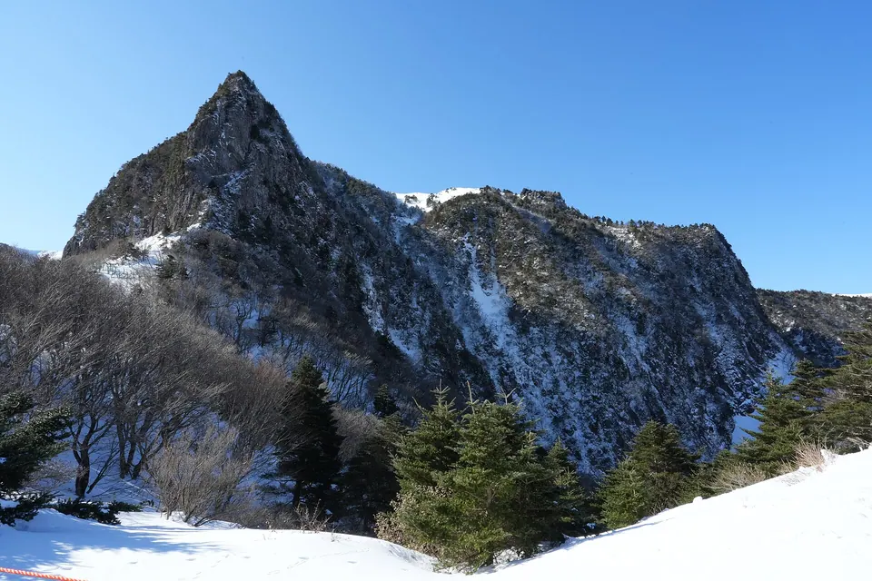
Upper mountain views are possible, but check deadlines and restrictions first and stay on designated trails.
For a summit hike, select your date, route and entry time in the reservation system, and bring your own QR code and identification. Official reference times of about 5 hours one way and 10 hours return vary with breaks, snow-covered paths and fitness. Plan around passing Samgakbong and completing the descent, as well as reaching the summit.
The follow-up notice dated September 18, 2026 announced that the Samgakbong–Baengnokdam section would reopen on September 24 at 05:00. Check the latest notices rather than assuming it remains closed based on earlier construction notices. The reopening history does not guarantee daily access; strong winds, heavy rain or snow may bring new restrictions.
Hallasan Gwaneumsa Trail · Official information ↗ · Checked
Gwaneumsa reopening notice · 2026-09-18 ↗ · Checked
Hallasan hiking reservations and restrictions ↗ · Checked
Gwaneumsa is a long route with substantial elevation change. With companions who lack summit-hiking experience, do not choose it simply because 8.7 km is shorter than Seongpanak. Bring water and food in advance, and do not expect Samgakbong Shelter to be a restaurant or shop. Conserve energy during the ascent because leg fatigue can increase on descent.
Cloud can obscure views while wind and temperature change rapidly. Bring windproof and warm clothing and any ice equipment needed that day, and follow designated paths. Campground operations and summit reservations are separate; staying overnight does not itself give you permission to enter the summit route.
Hallasan Gwaneumsa Trail · Official information ↗ · Checked
Hallasan hiking reservations and restrictions ↗ · Checked
Use the Gwaneumsa trail entrance and campground as your starting point on the map rather than Gwaneumsa Temple itself. The official location is 588 Sallokbuk-ro, Jeju City. Arrange transport to arrive for your early entry time and separate transport back after the hike.
Ascending via Gwaneumsa and descending via Seongpanak brings you to a different road from your starting point and parked vehicle. Bus intervals and transfers matter, so check the actual timetable against your expected descent time. If choosing this through-hike, include the time needed to retrieve your vehicle after descent in the day's plan.
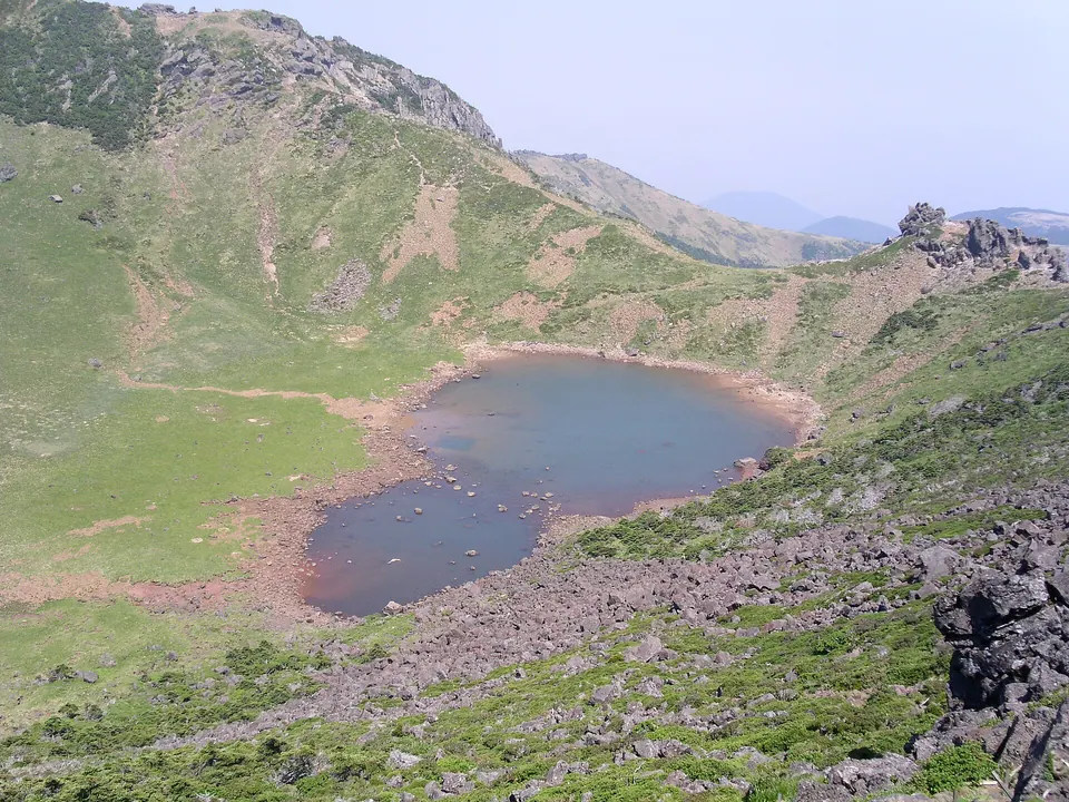
Baengnokdam summit crater, the final destination reached via the Seongpanak Course · 2005 archive photo. This is not a photo of the Seongpanak Trail itself.
Both routes reach Baengnokdam, but their forest sections, distances and slopes differ. Use this comparison when choosing a summit route and planning transport after descent.
Visitor guide →An option for comparing a shorter oreum viewpoint hike with a long summit outing.
Visitor guide →The Samgakbong–Baengnokdam section reopened on 2026-09-24 according to the official follow-up notice. Recheck weather and maintenance restrictions for your hiking day.
It is one way to Baengnokdam's eastern summit. Returning by the same trail makes 17.4 km, with an official return-hike reference time of about 10 hours.
Distance alone is not enough to judge. Substantial elevation changes and steep valley and ridge sections mean you should compare both physical effort and descent difficulty.
A summit hike requires advance booking, your own QR code and identification. Check your booked entry time and checkpoint and descent deadlines too.