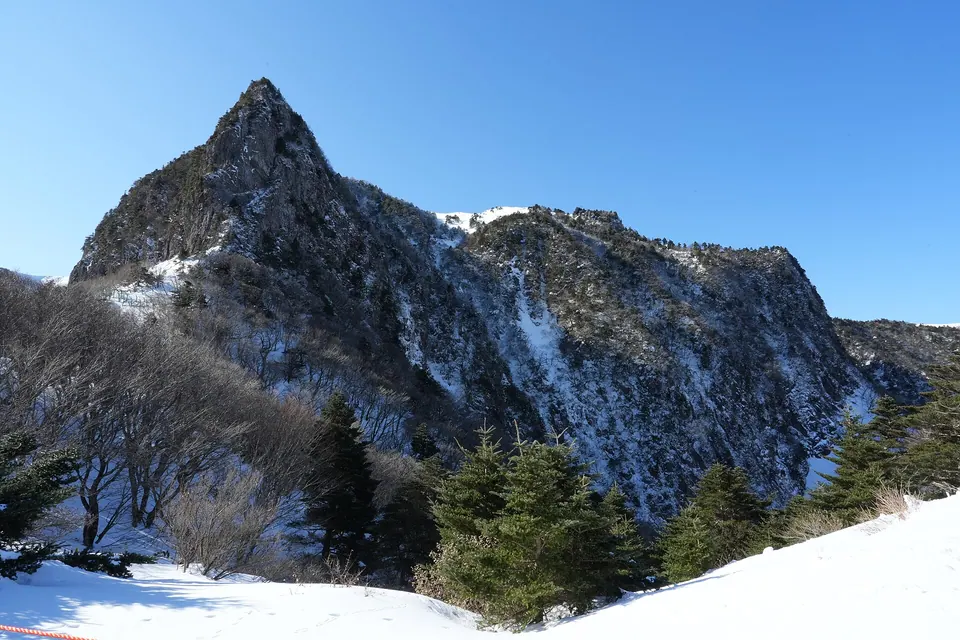
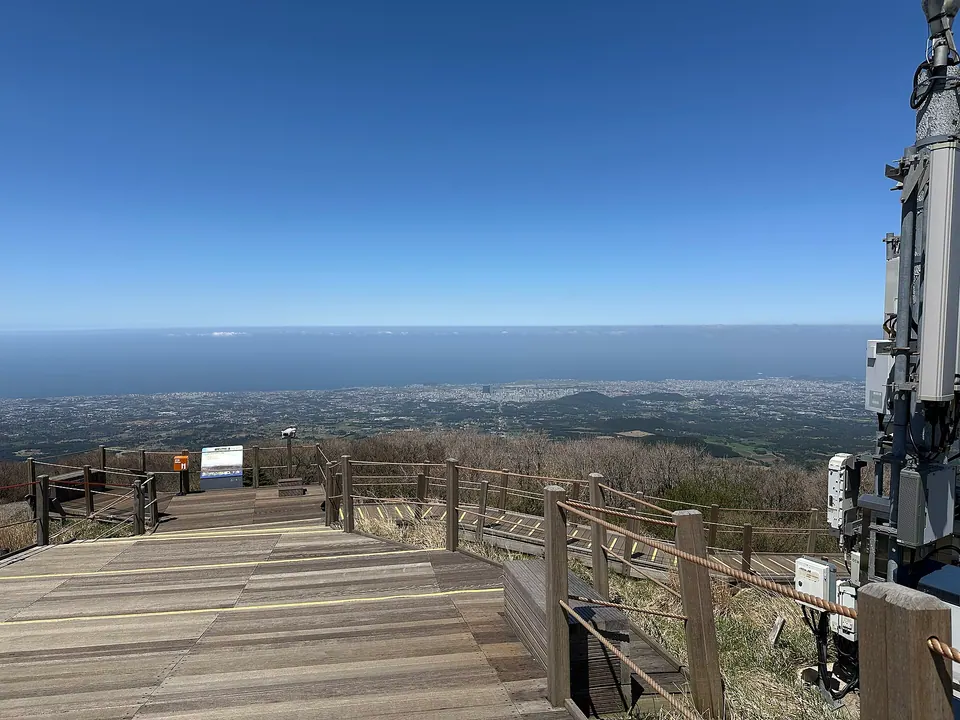
Sokbat and the forest section
A long section beneath the trees. It is less windy than the summit area, but rocky paths and distance still cause fatigue.
Hallasan and the uplands · Hallasan
Seongpanak is Hallasan's eastern trail, passing through a long forest section to Baengnokdam's eastern summit. Even with relatively gentle stretches, the long return distance calls for a full day's hiking preparation. Check summit reservations and checkpoint deadlines before choosing a forest walk, Sara Oreum or Baengnokdam as your goal.
Travel planning at a glance
Seongpanak to Baengnokdam is 9.6 km one way and 19.2 km returning by the same trail. A summit hike requires advance booking, your personal QR code and identification. The official one-way reference time is about 4 hours 30 minutes; allow a full day for descent and breaks, and check restrictions for your date.
Hallasan Seongpanak Trail
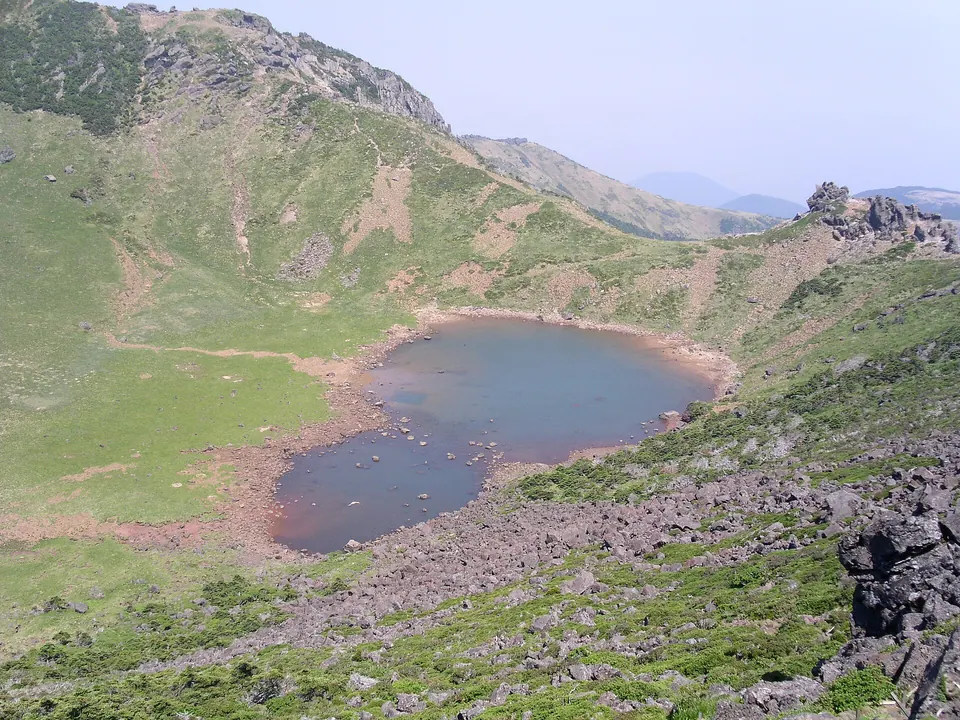
Operating and access information is based on the official sources below. Recommended routes and visit durations are editorial suggestions. Check each place's description to see whether waiting, meals and similar time are included, and allow separate time for travel between places.
Hallasan Seongpanak Trail · Official information ↗ · Checked
Hallasan hiking reservations and restrictions ↗ · Checked
From Seongpanak Visitor Information Center, the trail passes Sokbat Shelter, the Sara Oreum junction and Jindallaebat Shelter before reaching Baengnokdam's eastern summit. The wooded lower section contrasts sharply with the sparse trees near the summit. Keep a steady pace from the start; taking long strides on the gentle early slopes can leave you tired for the long descent.
Sara Oreum branches off the main trail. Adding its summit-lake viewpoint requires extra walking and visiting time without missing the summit checkpoint deadline. If you hope to visit both Baengnokdam and Sara Oreum, assess your remaining time and your companions' condition at the junction before deciding on the detour.
A long section beneath the trees. It is less windy than the summit area, but rocky paths and distance still cause fatigue.
Summit views vary with cloud and fog. Neither the lake's water level nor a clear view is guaranteed.
Hallasan Seongpanak Trail · Official information ↗ · Checked
For a summit hike, select your date, route and entry time in the Hallasan reservation system. Bring the reservation holder's own QR code and identification; do not use someone else's booking. The entrance deadline, the cutoff for continuing from Jindallaebat toward the summit and the deadline for leaving the summit are separate requirements.
Official guidance gives about 4 hours 30 minutes one way to the summit and about 9 hours return. These are reference times that vary with fitness, snow, rain and queues. Allow enough time for descent rather than aiming to start at the latest permitted entry time. Weather restrictions may cancel the hike even after you have booked.
Hallasan Seongpanak Trail · Official information ↗ · Checked
Hallasan hiking reservations and restrictions ↗ · Checked
A return hike to Baengnokdam is very different from a short oreum walk. If you have little long-distance hiking experience or are concerned about a companion's fitness, choose a safe turnaround point before making the summit your priority. Bring water, food and a windproof outer layer; do not expect shelters to be shops selling food or drinks.
Strong winds and ice may remain at altitude even when your coastal accommodation feels warm. On snowy days, bring cold-weather clothing and anti-slip equipment suited to the day's guidance. Do not take shortcuts or leave the trail for photographs. If your knees or ankles become tired during descent, slow down and reassess the remaining distance.
Hallasan Seongpanak Trail · Official information ↗ · Checked
Hallasan hiking reservations and restrictions ↗ · Checked
Use Seongpanak Visitor Information Center as your starting point on the map. The official route address is 1865, 516-ro, Jocheon-eup, Jeju City. Distinguish it from the national park's main office at Eorimok so you do not enter the wrong trailhead address. Check official notices for alternative parking and transfers if the car park is full.
If taking a bus, first check how the first service fits your planned hiking start. Include the walk out to the roadside stop in your descent schedule. Ascending via Seongpanak and descending via Gwaneumsa finishes elsewhere, so arrange rental-car retrieval or a booked vehicle transfer separately.
Hallasan Seongpanak Trail · Official information ↗ · Checked
Another route to the Baengnokdam summit. Compare gradients and transport after descent before choosing a route for your hiking date.
Visitor guide →An option for comparing a shorter hike near Eorimok with a long summit hike.
Visitor guide →A summit hike requires an advance reservation. Check your personal QR code, identification, booked entry time and restrictions for the day.
It is 9.6 km one way to Baengnokdam's eastern summit. Returning by the same trail makes 19.2 km, with an official reference time of about 9 hours for the return hike.
Sara Oreum is a separate branch that takes extra time. Decide after considering the summit checkpoint deadline and your energy; do not plan on being guaranteed a visit to both.
Yes, when the connecting sections are open, but your starting and finishing points differ. Check restrictions for the day and arrange vehicle retrieval or return transport first.