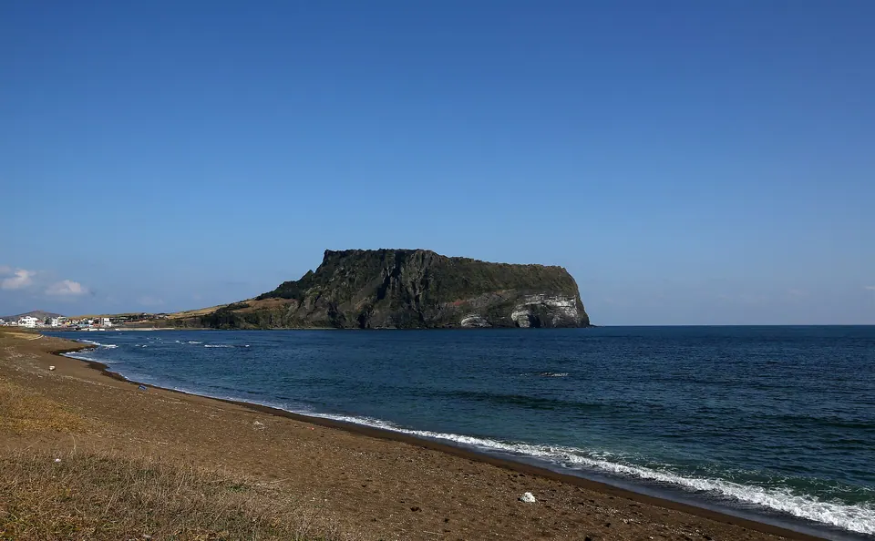
East · Volcanic hills
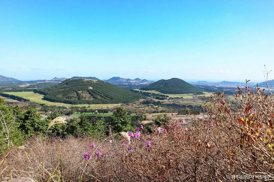
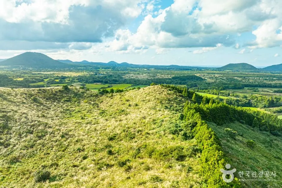
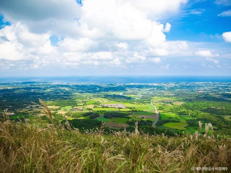
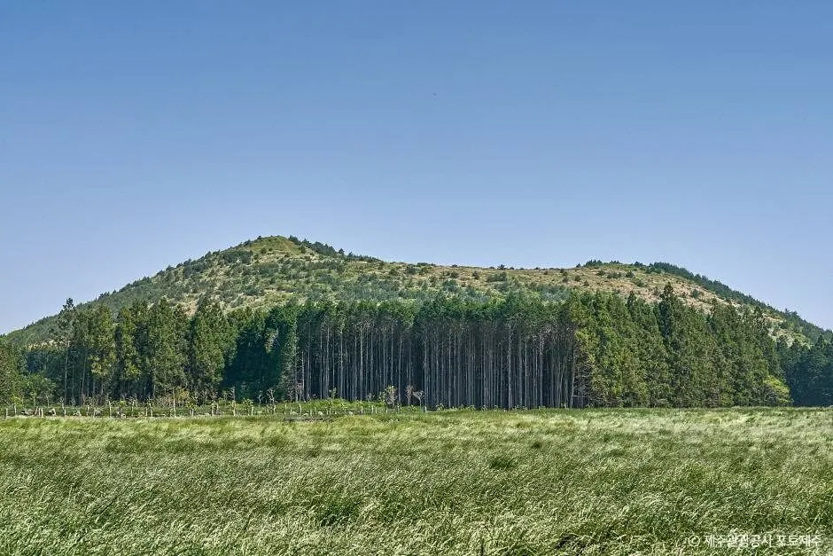
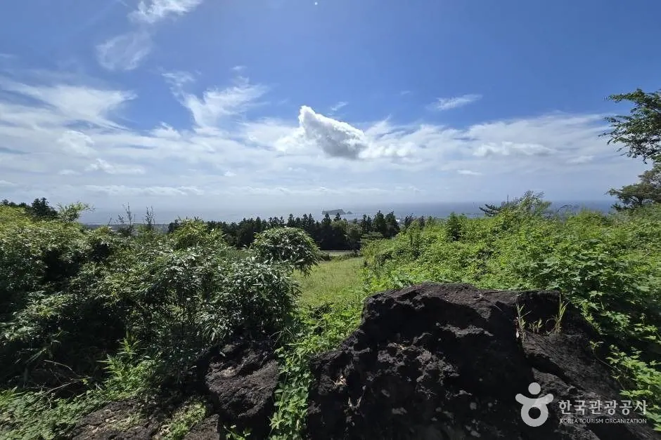
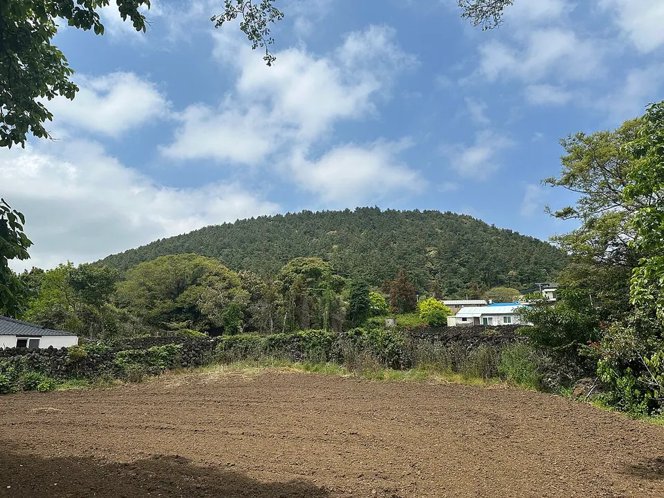
Guduri Oreum
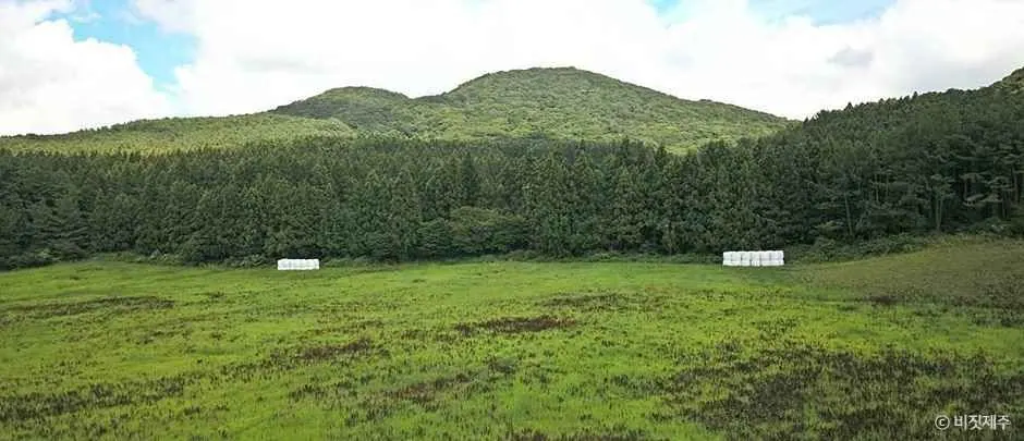
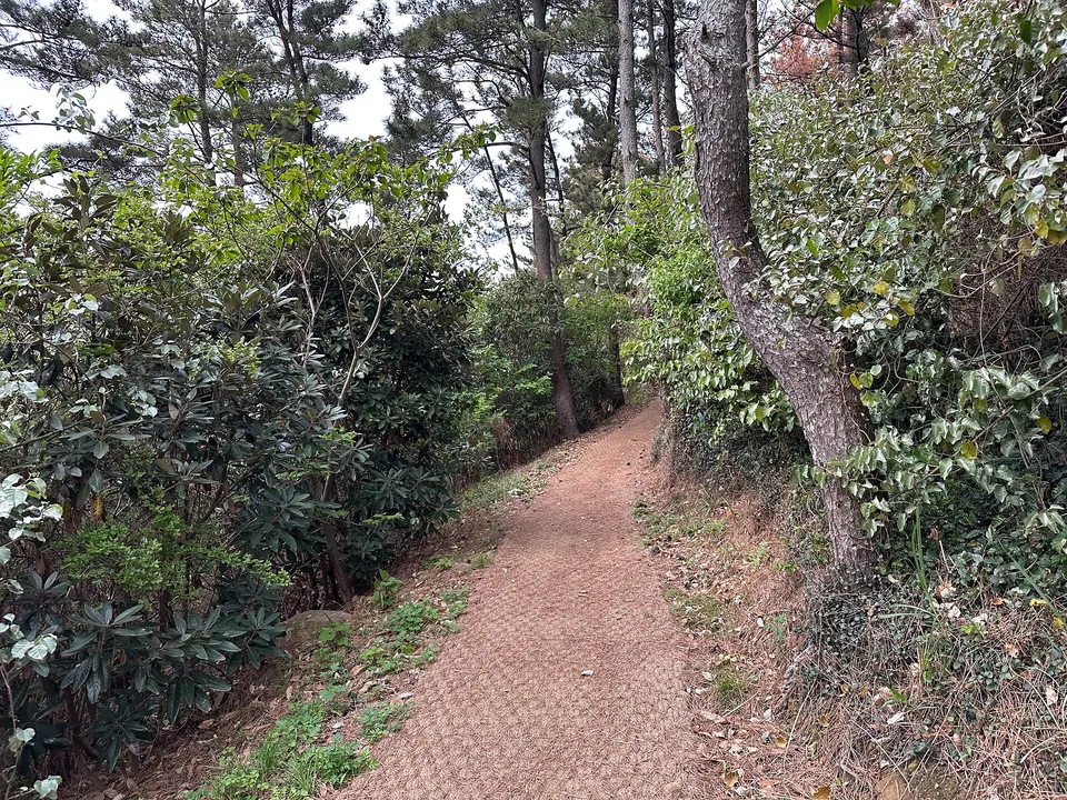
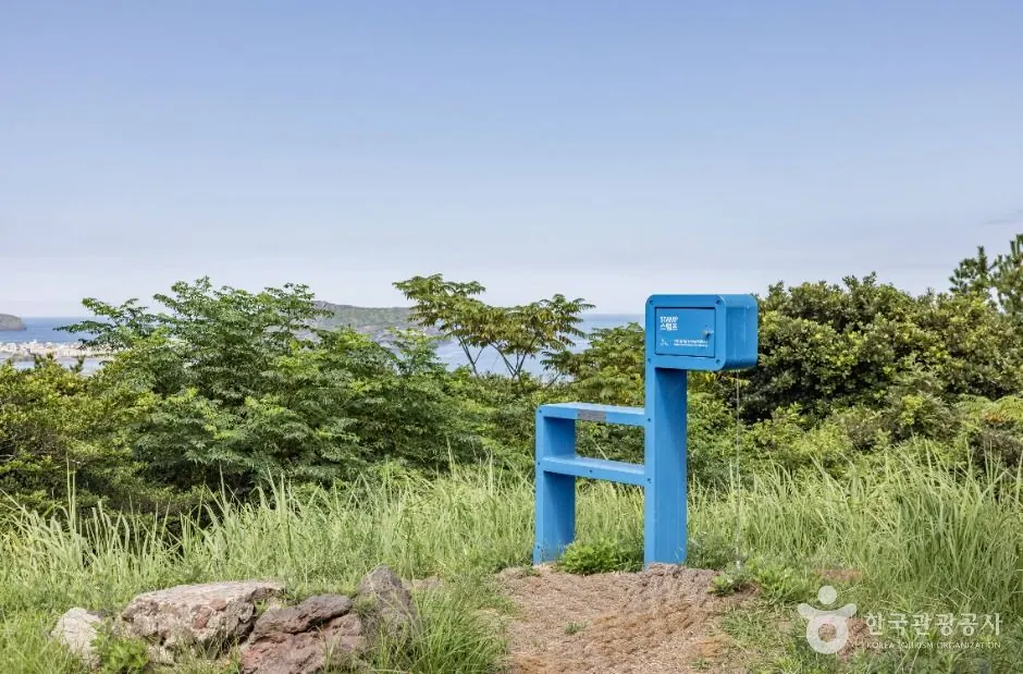
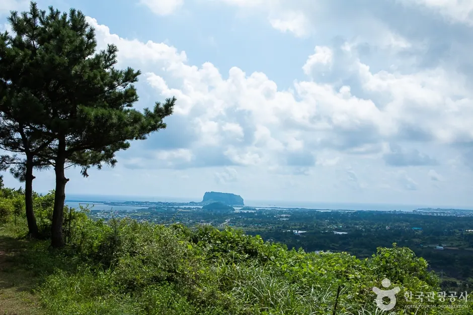
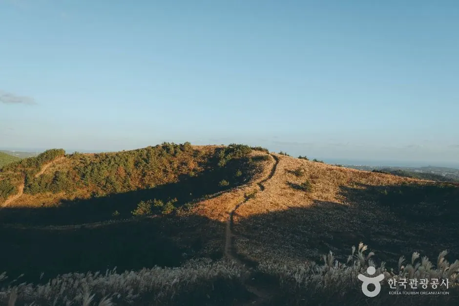
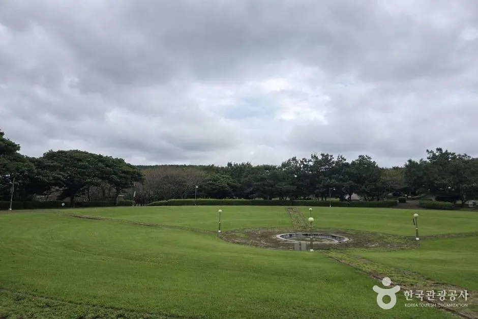
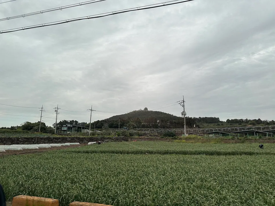
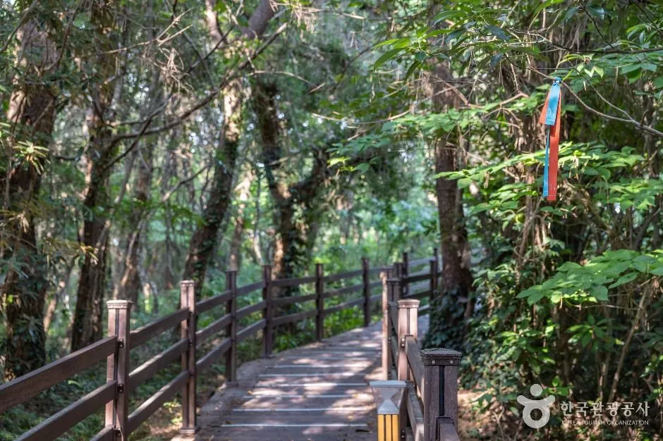
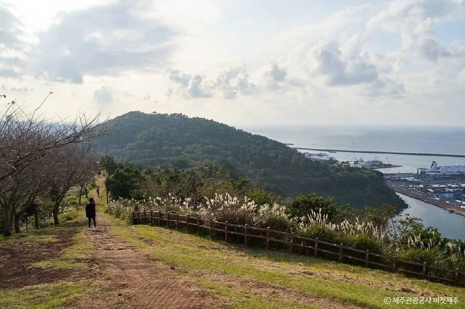
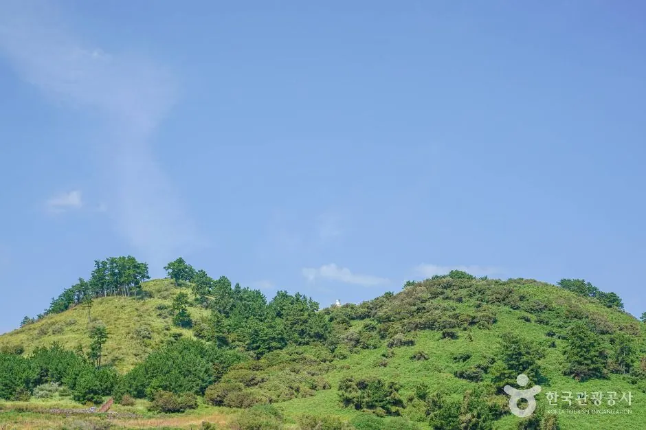
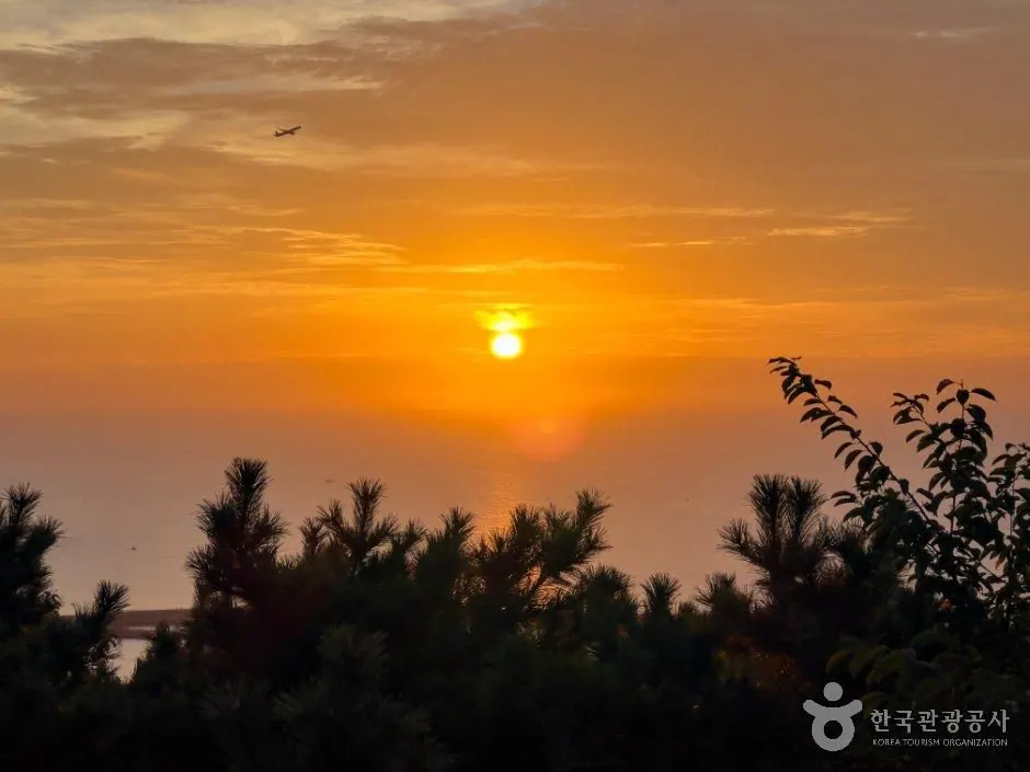
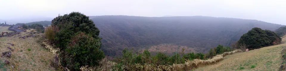
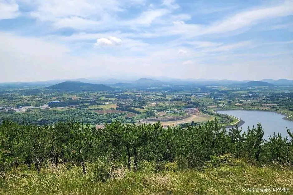
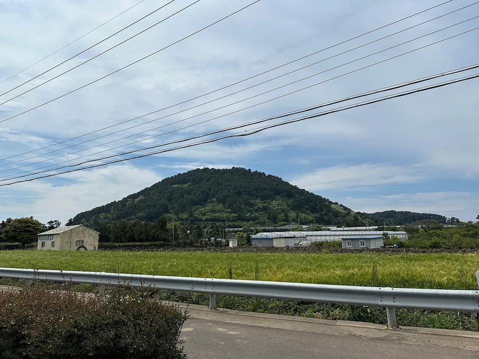
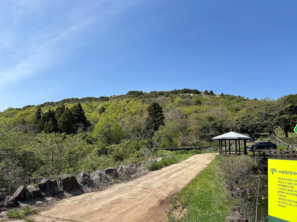
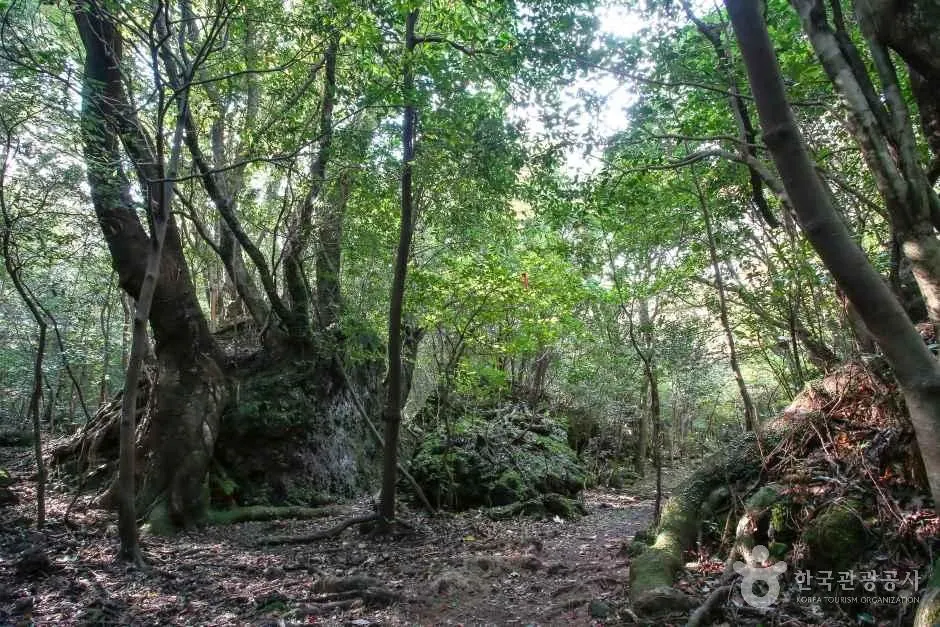
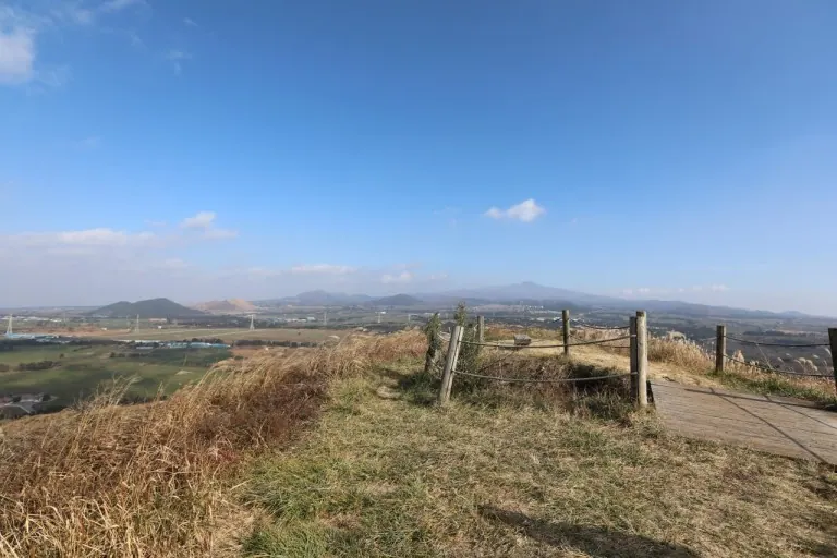
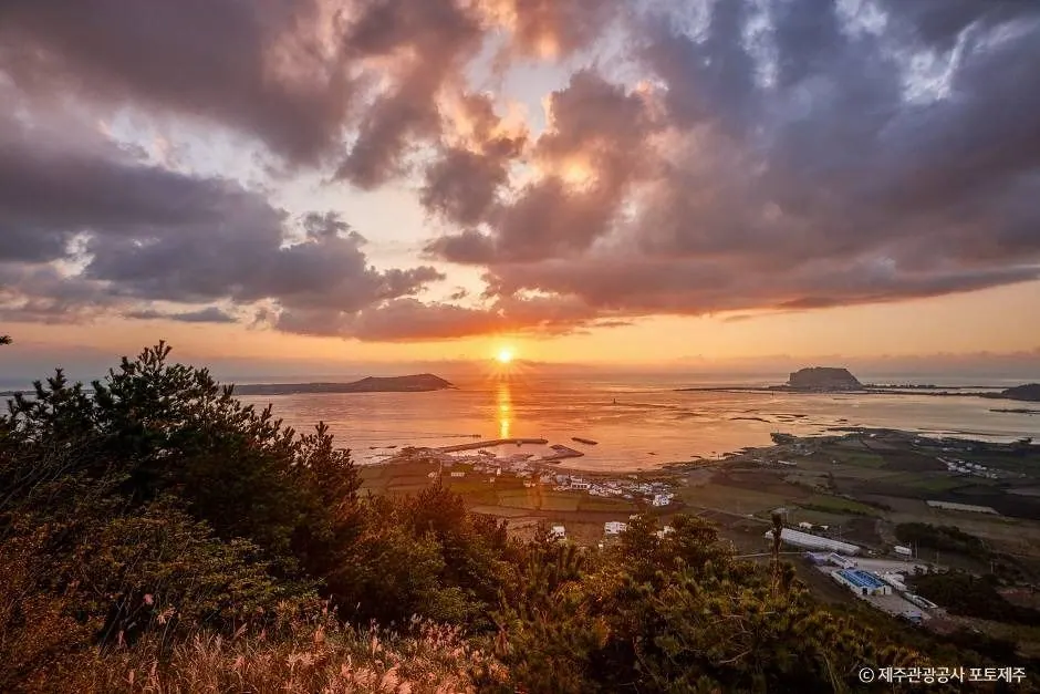
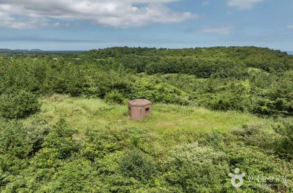
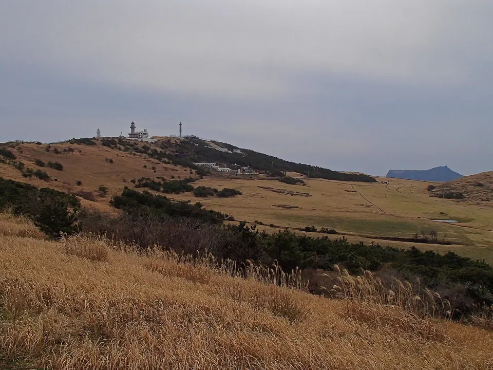
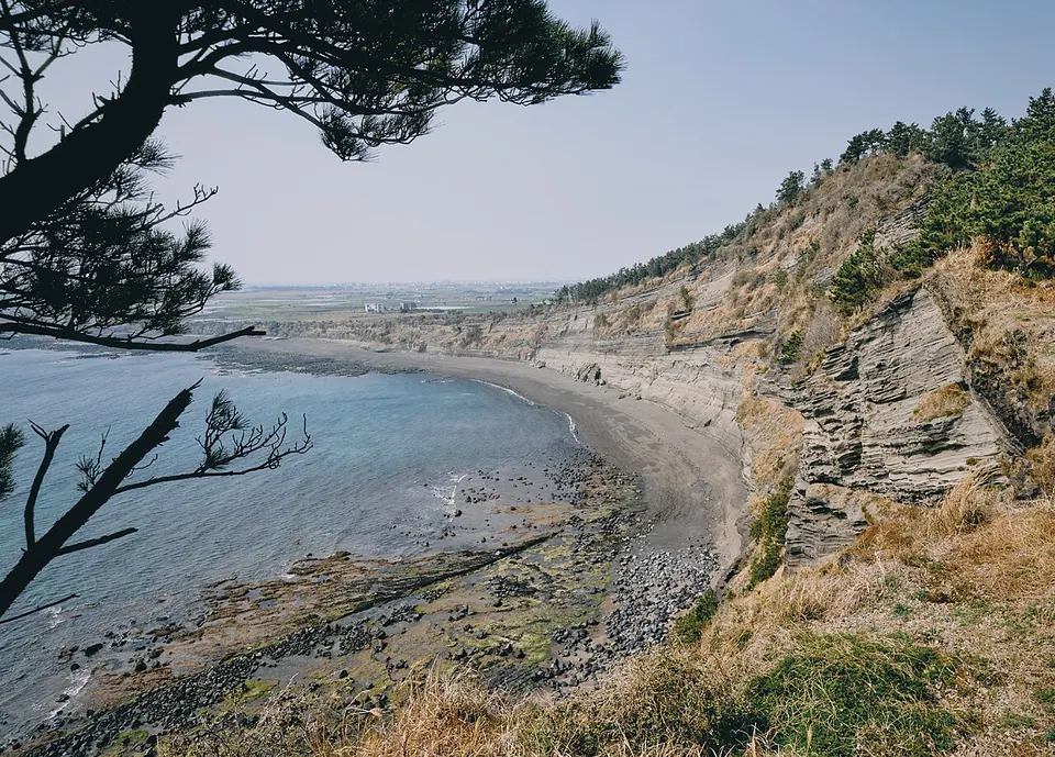
Guduri Oreum in Gasi-ri has a ridge elongated north to south and a crater to the east.
EXPLORE JEJU
Explore Jeju's coastal villages, forests and volcanic hills, waterfalls and exhibitions. Focusing on one area can help reduce the time you spend travelling between places.
Travel planning at a glance
Guides to places 241–288 of 414 major Jeju attractions. Region and theme searches cover all detailed guides. Continue exploring on another directory page.
Choose the area where you are staying or the region you will explore that day, then link nearby beaches, forests and exhibitions into an itinerary. Use each detailed guide to check the route through the site and the actual entrance. Allow time to reach your next stop while meeting access and booking requirements.
East · Volcanic hills
Guduri Oreum in Gasi-ri has a ridge elongated north to south and a crater to the east.
West · Volcanic hills
Gwetmul Oreum in Yusuam-ri is known for water emerging near its crater and stories about the Jeju words gwe and mul.
West · Volcanic hills
Jokeunnokkome is an oreum in Yusuam-ri beside Keun Nokkome, with both craters oriented to the northwest.
West · Volcanic hills
Keun Nokkome rises relatively high above the surrounding ground, with a hike through forest leading to ridge views.
East · Volcanic hills
Nopeun Oreum in Songdang-ri retains much of its original volcanic form and summit crater.
West · Volcanic hills
Neujiri Oreum in Sangmyeong-ri offers views across western volcanic hills, villages and the sea.
West · Volcanic hills
Dansan is a rocky volcanic hill west of Sanbangsan, formed from the remnants of an eroded tuff cone.
East · Volcanic hills
Daesusanbong, also called Keunmulmoe, is a former beacon hill in Goseong-ri, Seongsan.
East · Volcanic hills
Dusanbong, known as Malmi Oreum, overlooks Siheung-ri’s fields and stone walls and the sea at Seongsan.
East · Volcanic hills
Ttarabi Oreum in Gasi-ri has three closely grouped craters and ridges linking several peaks.
East · Volcanic hills
Moguri Oreum in Nansan-ri has an east–west ridge and a crater to the southeast.
West · Volcanic hills
Moseulbong stands prominently above the Daejeong plain. It is also known as Moseulgae Oreum and has a history as a beacon hill.
Seogwipo and the south · Volcanic hills
Mulyeongari in Sumang-ri is known for the summit wetland in its circular crater.
Seogwipo and the south · Volcanic hills
Miaksan, also called Ssal Oreum or Sol Oreum, is a forested volcanic hill in Donghong-dong’s uplands.
Seogwipo and the south · Volcanic hills
Beritnae Oreum in Jungmun takes its name from the deep valley of Jungmuncheon Stream.
Jeju City and the north · Volcanic hills
Byeoldobong is a volcanic hill in Jeju City, also known as Beri Oreum, a name derived from its coastal cliffs.
Islands off Jeju · Volcanic hills
Biyangbong is the central volcanic hill of Biyangdo off Hallim, with two recorded craters.
Jeju City and the north · Volcanic hills
Sarabong in Geonip-dong, Jeju City, has a name associated with the light at sunset.
Eastern Jeju · Geology observation walks
Sangumburi offers a close introduction to the volcanic crater described by the Jeju word gumburi.
Seogwipo and the south · Volcanic hills
Sammaebong is a park and volcanic hill near central Seogwipo, with views toward Hallasan and the sea.
West · Volcanic hills
Saesin Oreum in Cheongsu-ri is a neighbour of Gama Oreum, interpreted as having formed at around the same time.
West · Volcanic hills
Seotal Oreum and Dongal Oreum are described as low remnants of a larger volcanic landform that collapsed.
East · Volcanic hills
Seongbul Oreum in Songdang-ri takes its name from Seongbul Spring in the crater and stories of a former temple.
East · Volcanic hills
Sonji Oreum, also called Sonjabong, has an east–west elongated form and a circular crater.
East · Volcanic hills
Akkeun Darangswi has a Jeju-language name meaning a volcanic hill smaller than Darangswi.
East · Volcanic hills
Andol Oreum in Songdang-ri is distinguished from Batdol Oreum by a name referring to its position on the inner, Hallasan side.
East · Volcanic hills
Yeongjusan in Seongeup-ri has a horseshoe-shaped crater opening to the east.
Jeju City and the north · Volcanic hills
Wondangbong in Samyang is identifiable by its overlapping peaks and the five-storey stone pagoda at the Wondangsa temple site.
West · Volcanic hills
Wonsuak, also called Wonmul Oreum, takes its name from Wonmul Spring to the south and stories of former lodgings for officials.
Seogwipo and the south · Volcanic hills
Iseungak is elongated from east to west, with a distinctive horseshoe-shaped crater on its eastern side.
West · Volcanic hills
Jeongmul Oreum is named after twin springs called Jeongmul at its northwestern base.
East · Volcanic hills
A volcanic hill in Jongdal-ri with a name associated with the story of Jeju Island’s tail.
East · Volcanic hills
Tong Oreum is a low volcanic hill divided into several peaks in Nansan-ri, next to Dokjabong.
Archive photo of Udo on Jeju Olle Route 1-1 · This does not show the entire route or current trail conditions.
Islands off Jeju · Olle and walking routes
An island walking route taking in Udo's sea, villages and fields, and the area toward Udobong Peak.
Archive photo of Gwangchigi Beach on Jeju Olle Route 2 · This does not show the entire route or current trail conditions.
Eastern Jeju · Olle and walking routes
A route starting at Gwangchigi Beach and exploring inland waters, villages and the area toward Daesusanbong Peak.
Archive photo of Pyoseon Beach on Jeju Olle Route 3-B · This does not show the entire route or current trail conditions.
Eastern Jeju · Olle and walking routes
Route 3-B focuses on coastal scenery, unlike Route 3-A's oreum and inland itinerary.
Archive photo of Pyoseon Beach on Jeju Olle Route 4 · This does not show the entire route or current trail conditions.
Eastern Jeju · Olle and walking routes
A walking route linking the coast and small ports from Pyoseon to Namwon.
Archive photo of Soesokkak on Jeju Olle Route 5 · This does not show the entire route or current trail conditions.
Seogwipo and the south · Olle and walking routes
From Namwon, the route follows woodland and coastal paths toward Keuneong, passing Wimi and Harye villages on the way to Soesokkak.
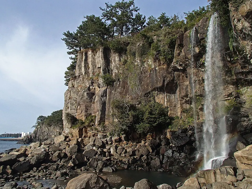
Archive photo of Jeongbang Falls on Jeju Olle Route 6 · This does not show the entire route or current trail conditions.
Seogwipo and the south · Olle and walking routes
A relatively short Olle route starting at Soesokkak and following the coast into central Seogwipo.
Archive photo of Oedolgae on Jeju Olle Route 7 · This does not show the entire route or current trail conditions.
Seogwipo and the south · Olle and walking routes
A route from Jeju Olle Traveler Center taking in coastal scenery toward Oedolgae, Dombenang-gil and Sokgol.
Archive photo of Gogeunsan on Jeju Olle Route 7-1 · This does not show the entire route or current trail conditions.
Seogwipo and the south · Olle and walking routes
A route from Seogwipo Bus Terminal toward Gogeunsan, Eongtto Falls and Hanon, continuing to Jeju Olle Traveler Center.
Archive photo of Jungmun Saekdal Beach on Jeju Olle Route 8 · This does not show the entire route or current trail conditions.
Seogwipo and the south · Olle and walking routes
A coastal route from Wolpyeong through Daepo and Jungmun to Daepyeong.
Archive photo of Daepyeong Port on Jeju Olle Route 9 · This does not show the entire route or current trail conditions.
Western Jeju · Olle and walking routes
A route from Daepyeong Port to Hwasun, exploring the terrain around Moljil and toward Andeok Valley.
Archive photo of Songaksan on Jeju Olle Route 10 · This does not show the entire route or current trail conditions.
Western Jeju · Olle and walking routes
A route from Hwasun toward Sagye and Songaksan, continuing to Moseulpo.
Archive photo of Gapado on Jeju Olle Route 10-1 · This does not show the entire route or current trail conditions.
Islands off Jeju · Olle and walking routes
A route through Gapado's villages and low fields, taking in everyday island scenery such as the sea, stone walls and altars.
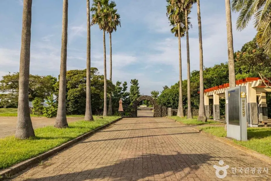
Archive photo of the approach to Daejeong Catholic Shrine and the grave of Maria Jeong Nan-ju, a stop on Jeju Olle Route 11 · This does not show the entire route or current walking-path conditions.
Western Jeju · Olle and walking routes
A route from Moseulpo along the permitted ridge of Moseulbong, continuing toward the Gotjawal forest between Sinpyeong and Mureung.
Archive photo of Suwolbong Geo Trail on Jeju Olle Route 12 · This does not show the entire route or current trail conditions.
Western Jeju · Olle and walking routes
A route from Mureung via the Sindo coastal path and the areas toward Suwolbong and Dangsanbong, continuing to Yongsu Port.
Archive photo of Jeoji Oreum on Jeju Olle Route 13 · This does not show the entire route or current trail conditions.
Western Jeju · Olle and walking routes
An inland route from Yongsu Port to Jeoji, passing a reservoir, woodland and the area toward Nakcheon-ri village.
No results found. Try fewer area or interest filters, or search the full attraction directory.
The detailed guides were written from research into official tourism and operator information. Recommended visit durations are editorial planning estimates. Check each place's description to see whether waiting, meals and similar time are included, and allow separate time for travel between places. Check each official source for admission fees, opening hours and real-time access.
This page has photos, introductions and visitor-guide links for places 241–288 of 414 detailed guides. Open a detail page for visitor information and official sources.
Search and the region and theme filters cover all 414 detailed guides. Without JavaScript, you can still follow the directory page links to read about every place.