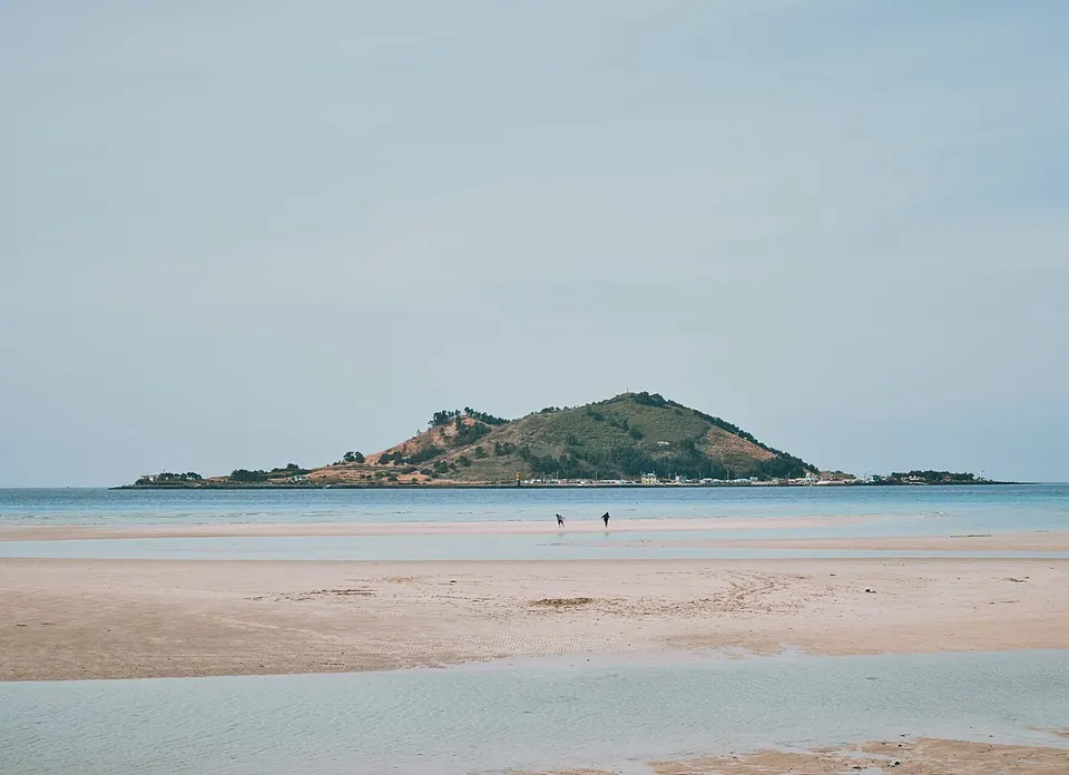
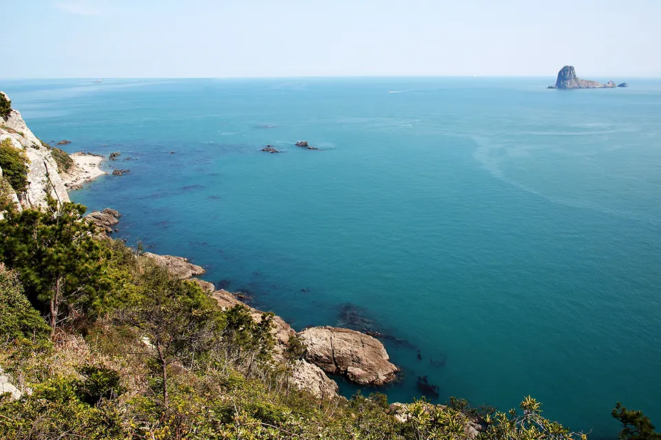
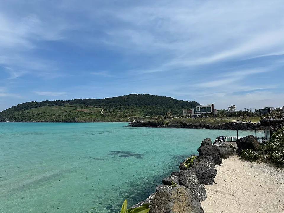
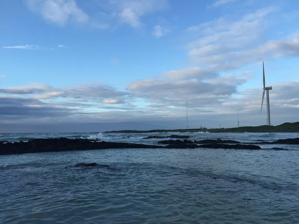
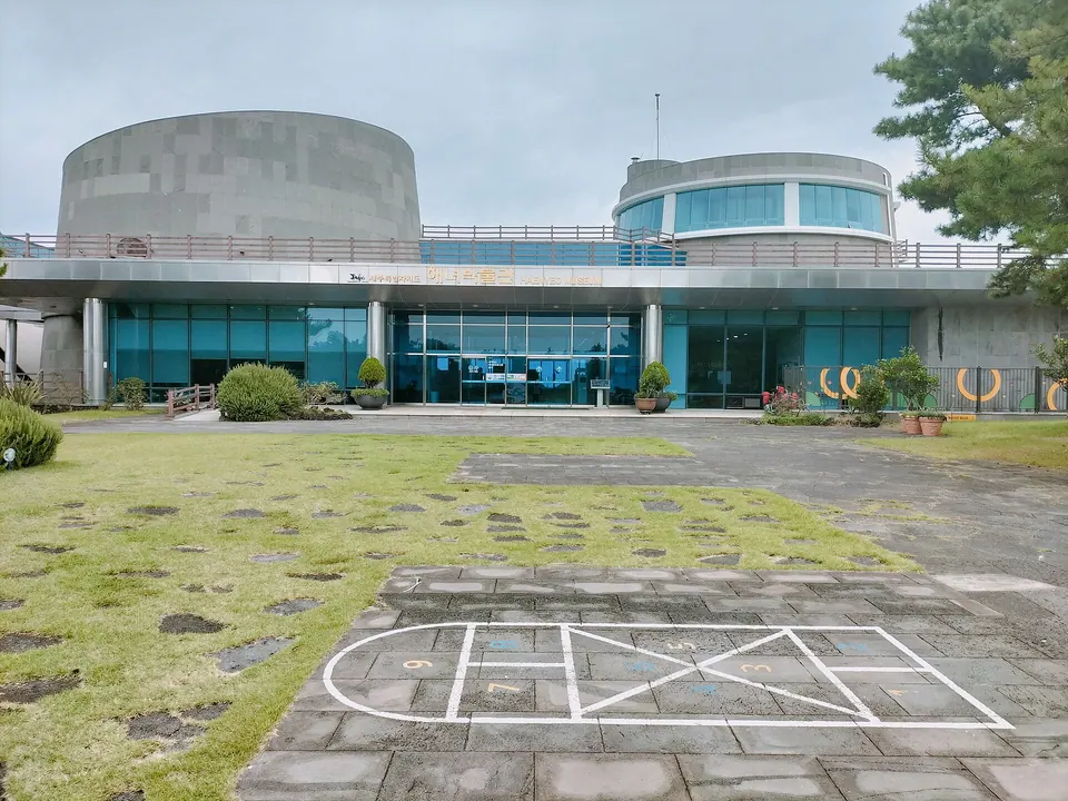
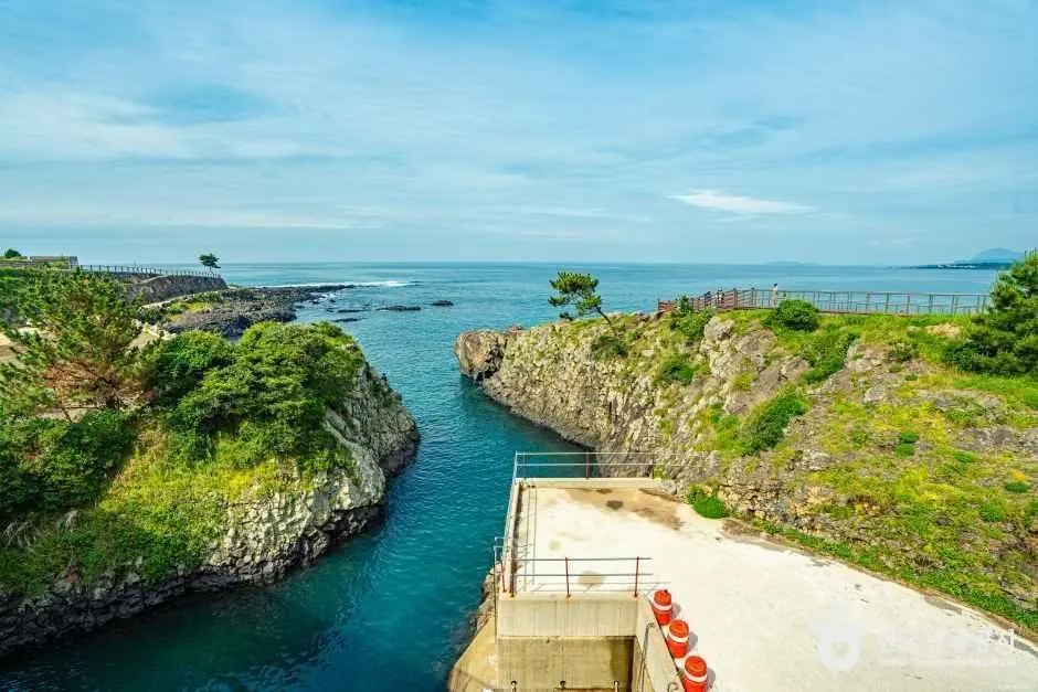
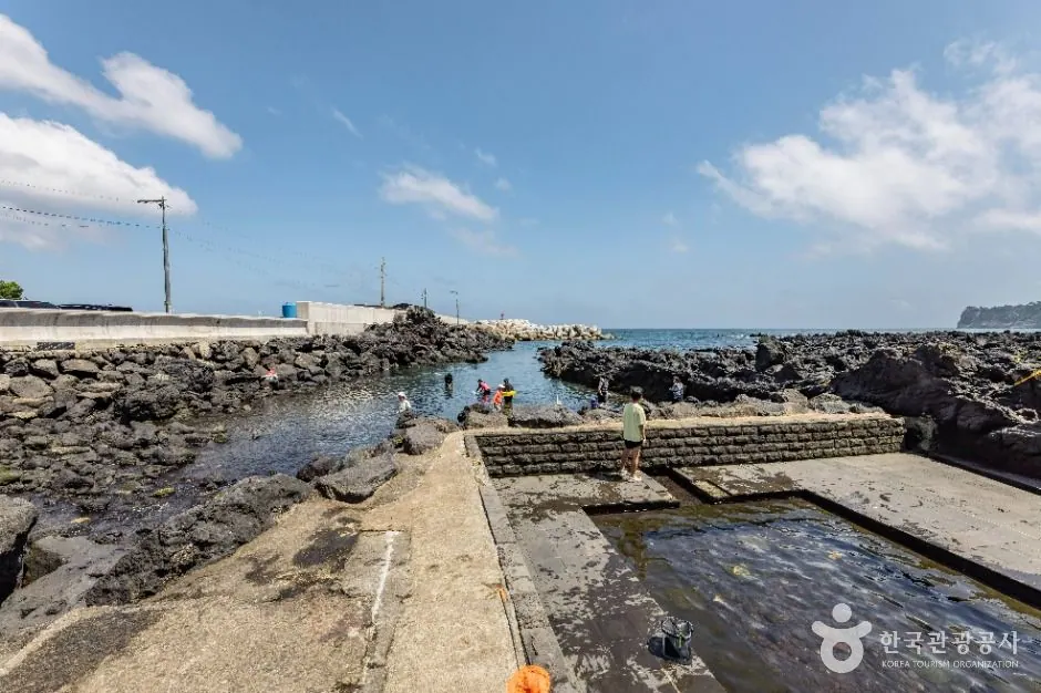
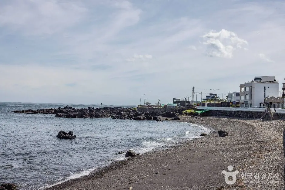
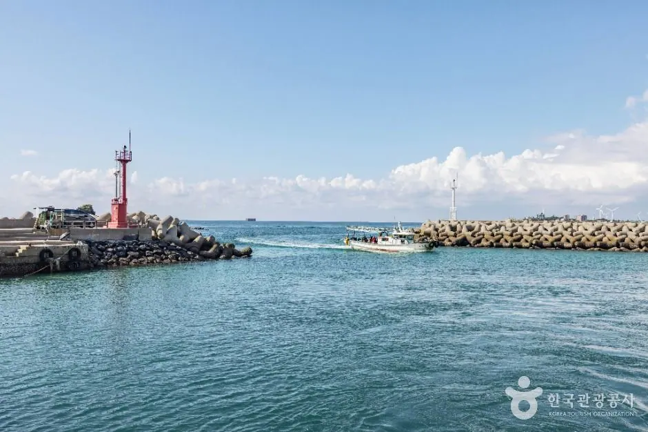
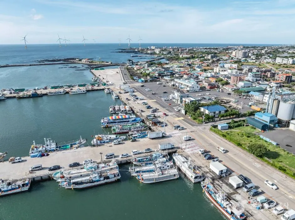
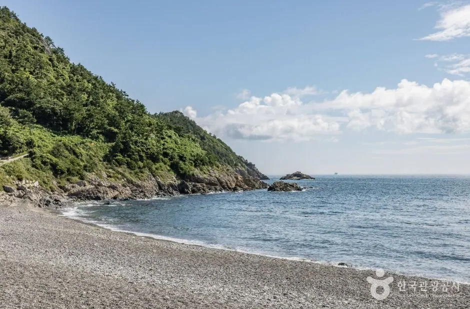
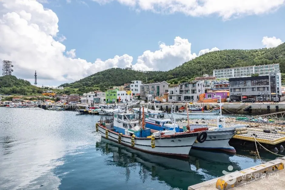
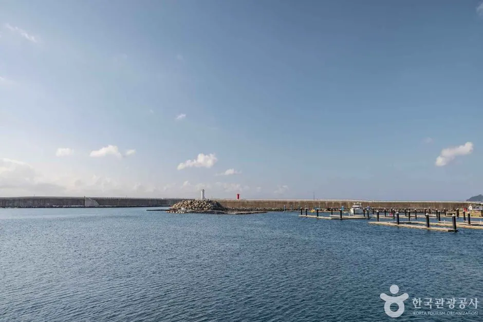
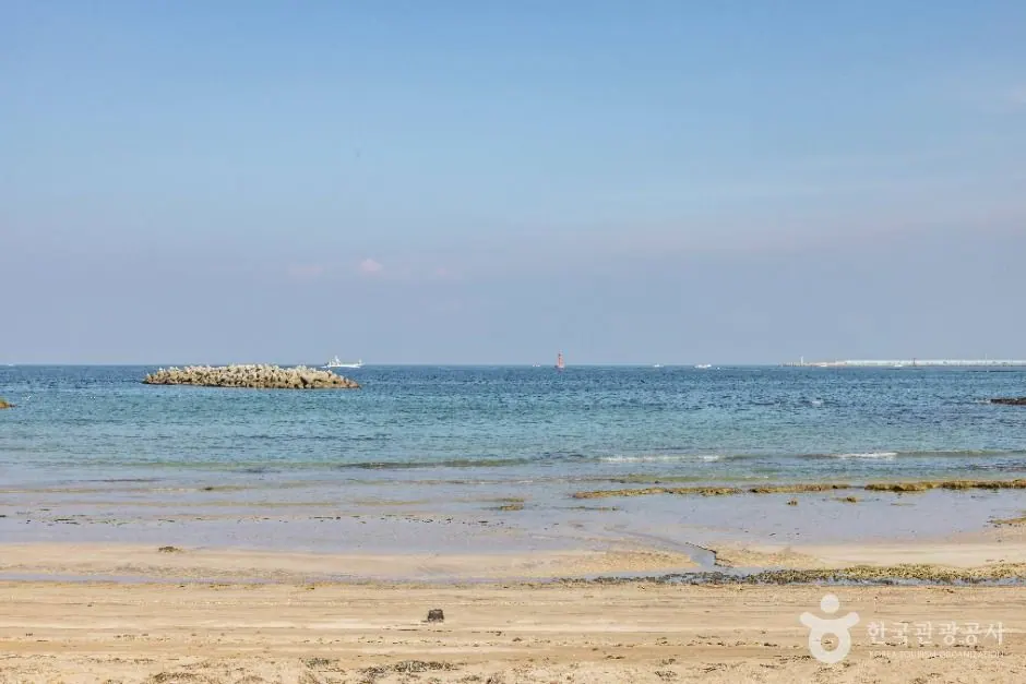
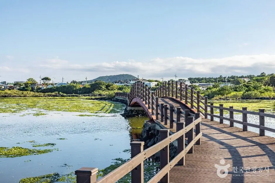
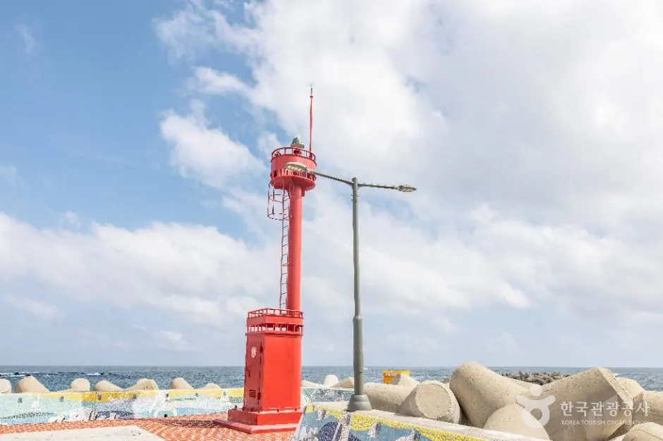
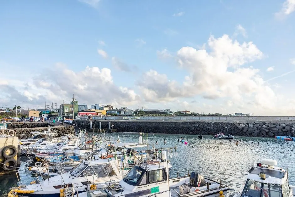
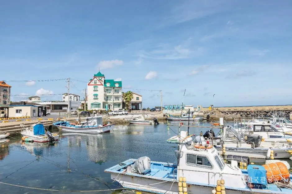
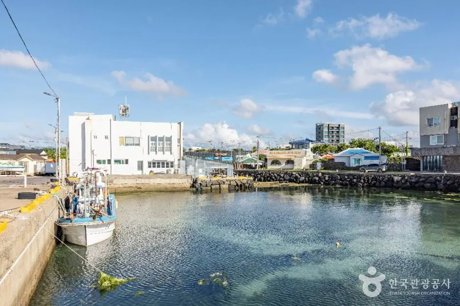
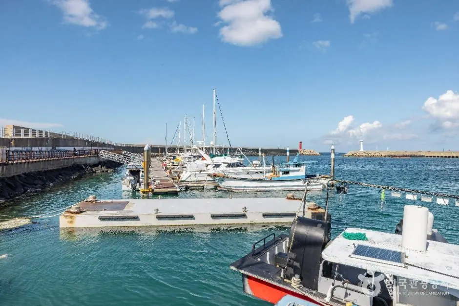
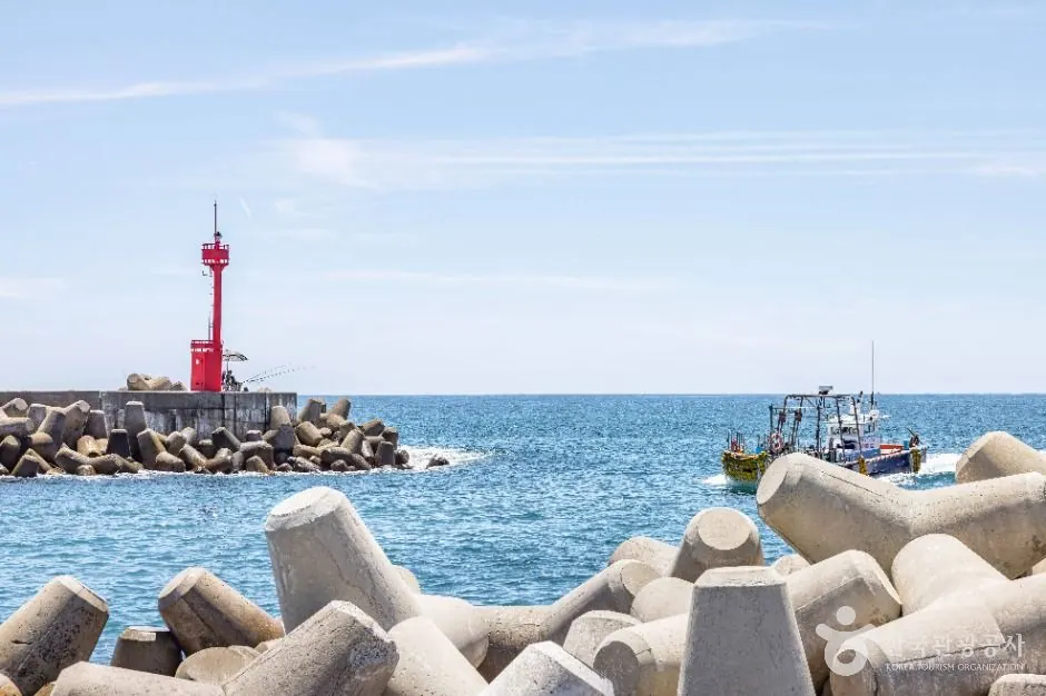
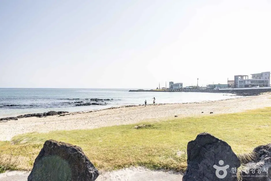
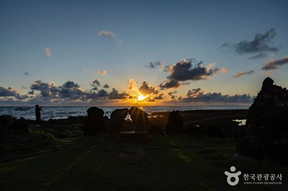
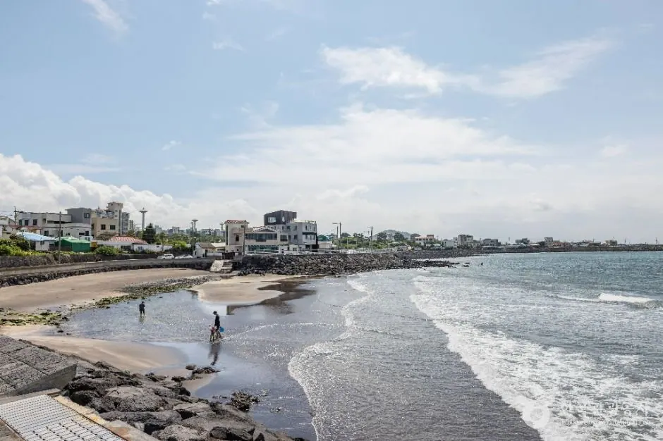
Archive photo of Geumneung Beach on Jeju Olle Route 14 · This does not show the entire route or current trail conditions.
Western Jeju · Olle and walking routes
A route from Jeoji through woodland, farm roads and Wollyeong, emerging at the coast toward Geumneung, Hyeopjae and Hallim.
Planning estimate · 6-7 hours (official estimate; varies with your pace)
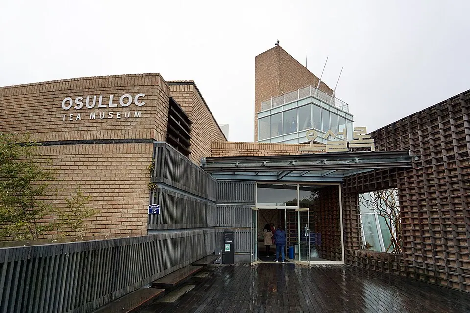
Archive photo of OSULLOC Tea Museum on Jeju Olle Route 14-1 · This does not show the entire route or current trail conditions.
Western Jeju · Olle and walking routes
A forest-focused route from Jeoji to Seogwang, passing toward Jeoji Gotjawal.
Planning estimate · 3-4 hours (official estimate; varies with your pace)
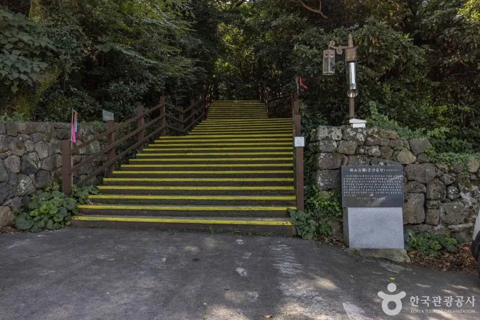
Archive photo of Nabeumnandaerim Geumsan Park (Nabeup warm-temperate forest) on Jeju Olle Route 15-A · This does not show the entire route or current trail conditions.
Western Jeju · Olle and walking routes
The A route from Hallim toward Gonae via inland villages at mid-elevations and the area around Nabeup's warm-temperate forest.
Planning estimate · 5-6 hours (official estimate; varies with your pace)
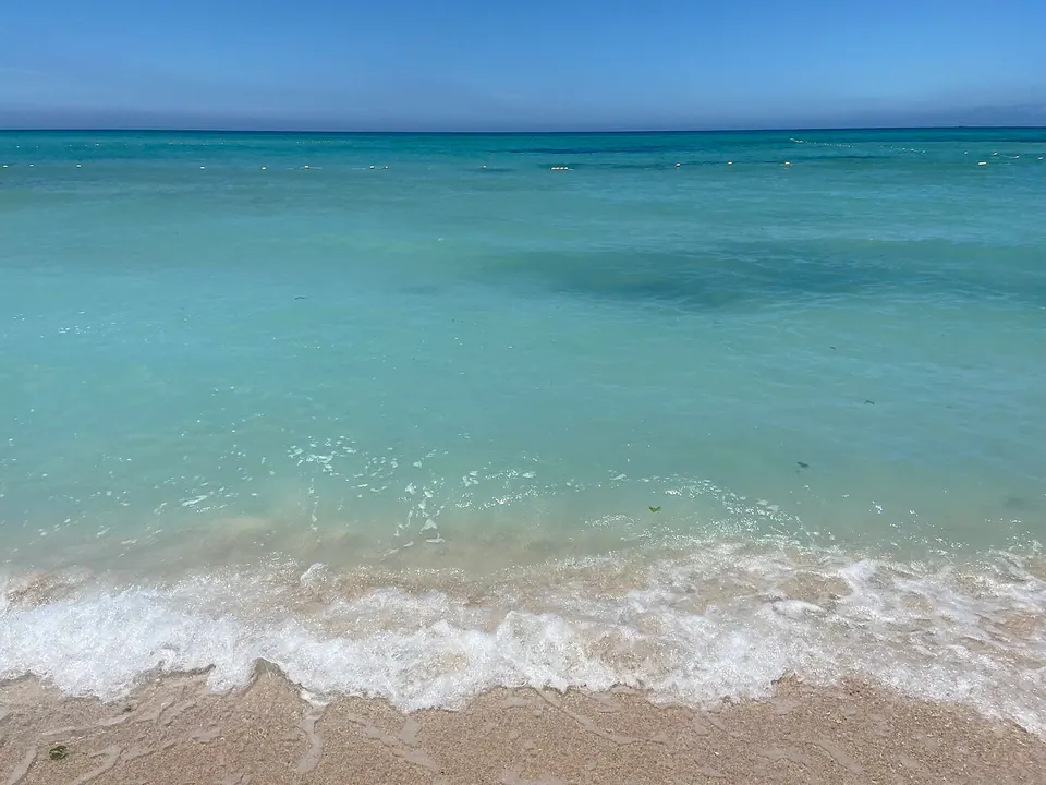
Archive photo of Gwakji Beach on Jeju Olle Route 15-B · This does not show the entire route or current trail conditions.
Western Jeju · Olle and walking routes
Route 15-B is the coastal option among the two routes from Hallim to Gonae.
Planning estimate · 4-5 hours (official estimate; varies with your pace)
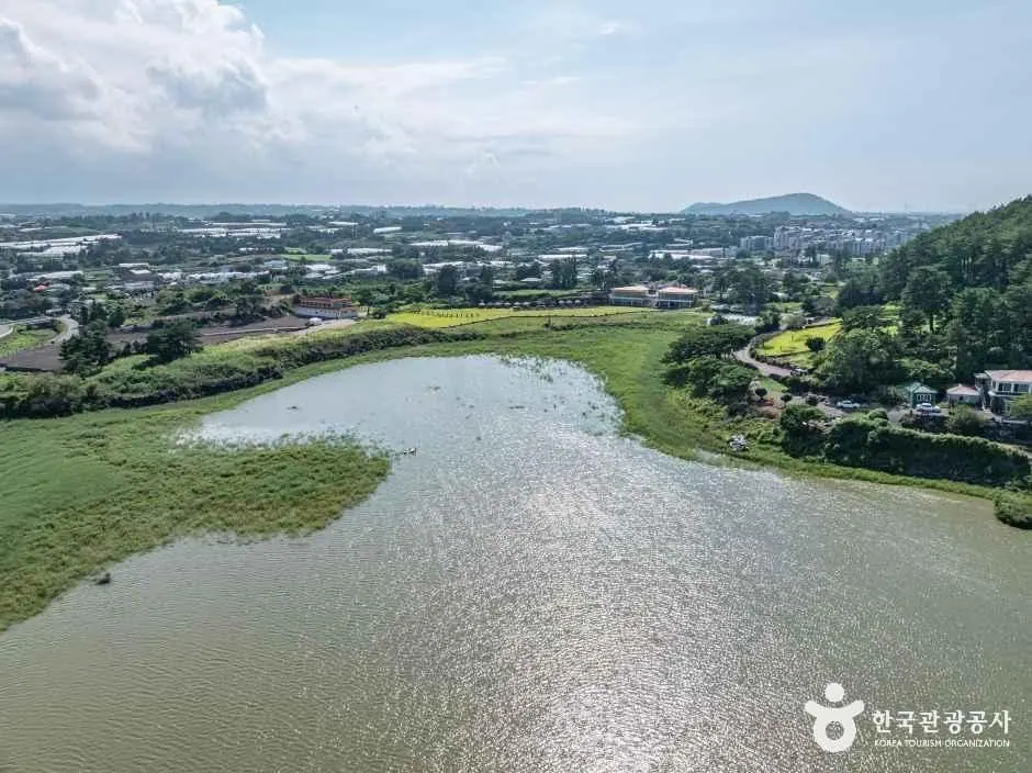
Archive photo of Susan Reservoir on Jeju Olle Route 16 · This does not show the entire route or current trail conditions.
Western Jeju · Olle and walking routes
A route from Gonae toward Gwangnyeong via Gueom's stone salt pans, Susan Reservoir and the area around Susanbong.
Planning estimate · 5-6 hours (official estimate; varies with your pace)
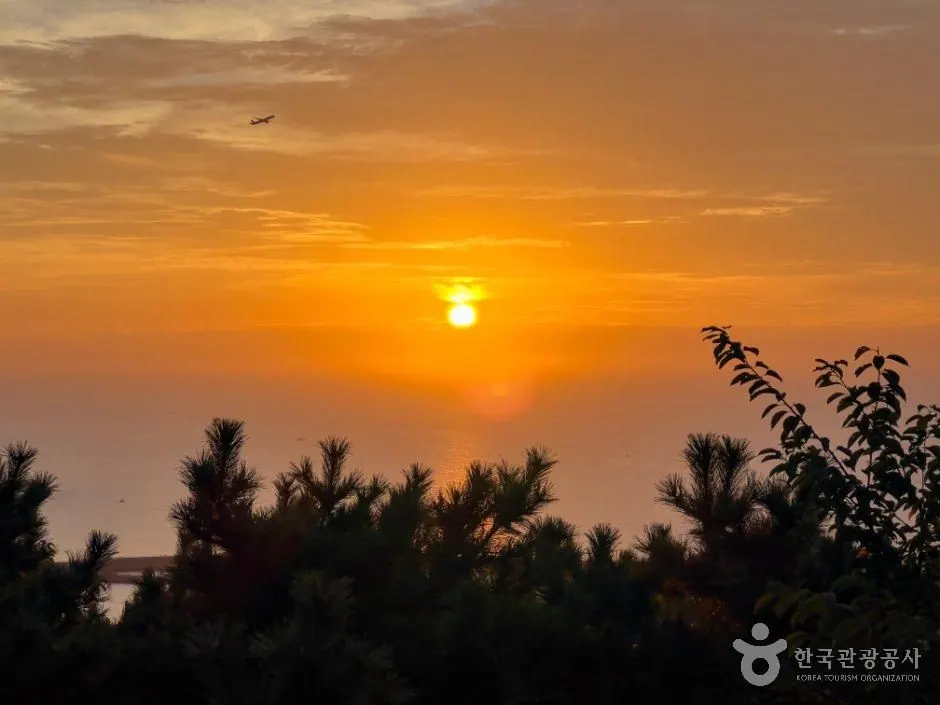
Archive photo of Dodubong on Jeju Olle Route 17 · This does not show the entire route or current trail conditions.
Jeju City and the north · Olle and walking routes
A route from Gwangnyeong through the areas of Oedo, Iho and Dodu, continuing to Yongduam Rock, Yongyeon Valley and Jeju City's old town.
Planning estimate · 6-7 hours (official estimate; varies with your pace)
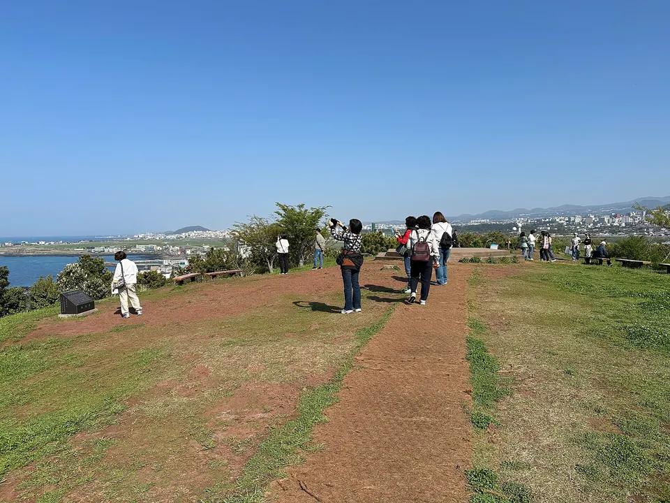
Archive photo of Sarabong on Jeju Olle Route 18 · This does not show the entire route or current trail conditions.
Jeju City and the north · Olle and walking routes
A route from Kim Man-deok Memorial Hall toward Sarabong, Hwabuk, Samyang and Sinchon, continuing to Jocheon.
Planning estimate · 5-6 hours (official estimate; varies with your pace)
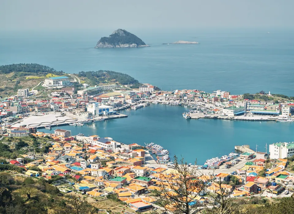
View of Sangchuja Port on Jeju Olle Route 18-1 · 2021-01 archive photo. This does not show the entire route or current trail conditions.
Islands off Jeju · Olle and walking routes
An Olle route centered on Sangchuja, with layered views of Chujado's islands, peaks and sea.
Planning estimate · 4-5 hours (official estimate; varies with your pace)
Archive photo of Chujado on Jeju Olle Route 18-2 · This does not show the entire route or current trail conditions.
Islands off Jeju · Olle and walking routes
An island Olle route centered on Hachuja, passing peaks, villages and ports before returning toward Sangchuja.
Planning estimate · 3-4 hours (official estimate; varies with your pace)
Archive photo of Seoubong Peak on Jeju Olle Route 19 · This does not show the entire route or current trail conditions.
Eastern Jeju · Olle and walking routes
An eastern coastal route from Jocheon toward Hamdeok, Seoubong and Bukchon, continuing to Gimnyeong.
Planning estimate · 6-7 hours (official estimate; varies with your pace)
Archive photo of Gimnyeong Beach on Jeju Olle Route 20 · This does not show the entire route or current trail conditions.
Eastern Jeju · Olle and walking routes
A route from Gimnyeong via Haengwon Port and eastern coastal villages to Hado.
Planning estimate · 5-6 hours (official estimate; varies with your pace)
Archive photo of Jeju Haenyeo Museum on Jeju Olle Route 21 · This does not show the entire route or current trail conditions.
Eastern Jeju · Olle and walking routes
A route from Hado toward the Haenyeo Museum, Byeolbangjin Fortress and Jimibong, continuing to Jongdal.
Planning estimate · 3-4 hours (official estimate; varies with your pace)
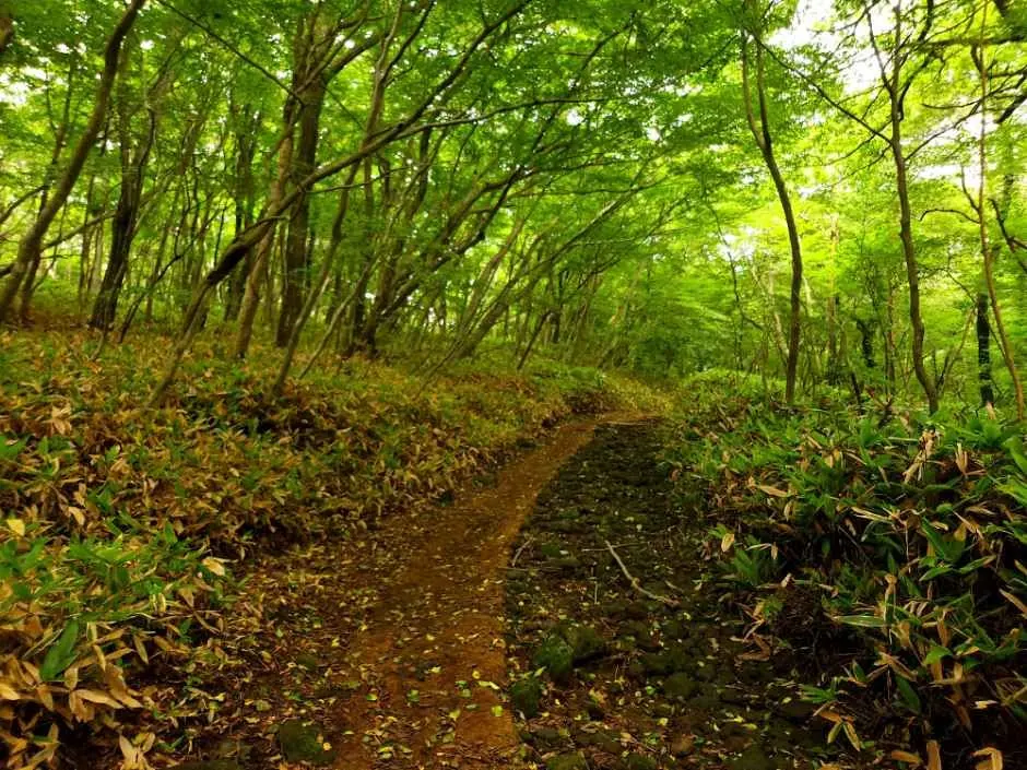
Hallasan and the uplands · Loop trails and forest paths
The first section of Hallasan Dulle-gil, a forest walk from Cheona Reservoir to the Borim Farm junction.
Planning estimate · Official section: 8.7km · approach and return distances extra
Hallasan and the uplands · Loop trails and forest paths
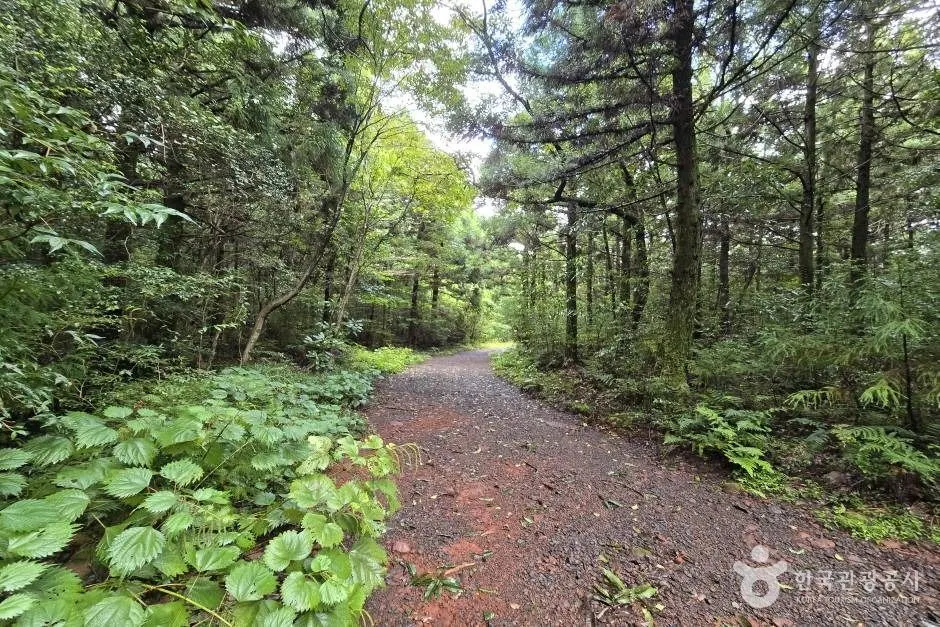
A forest trail connecting the Borim Farm junction with the entrance to Seogwipo Natural Recreation Forest.
Planning estimate · Official section: 8km · approach and return distances extra
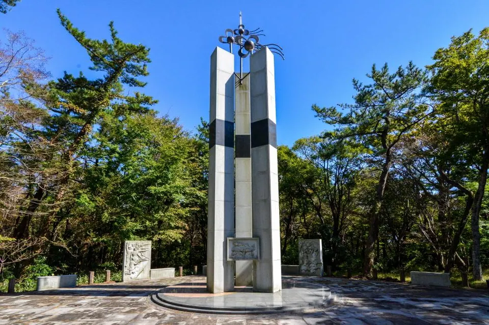
Mu-o Beopjeongsa Anti-Japanese Movement monument on the section connecting the Forest Recreation Trail to Dongbaek-gil · 2019 archive photo. This does not show the entire 2.3 km forest trail or current trail conditions.
Hallasan and the uplands · Loop trails and forest paths
A short section of Hallasan Dulle-gil passing through Seogwipo Natural Recreation Forest and connecting to Dongbaek Trail toward Muobeopjeongsa.
Planning estimate · Official section: 2.3km · approach and return distances extra
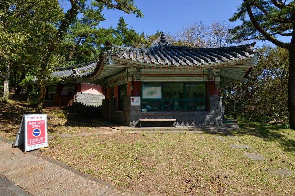
Hallasan Dulle-gil Dongbaek-gil information center · 2019 archive photo. The trail-access restriction sign shown reflects guidance at the time of photography; check official notices and on-site guidance for current operations.
Hallasan and the uplands · Loop trails and forest paths
A forest trail from Muobeopjeongsa toward the Donnaeko hiking trail.
Planning estimate · Official section: 11.3km · approach and return distances extra
Hallasan and the uplands · Loop trails and forest paths
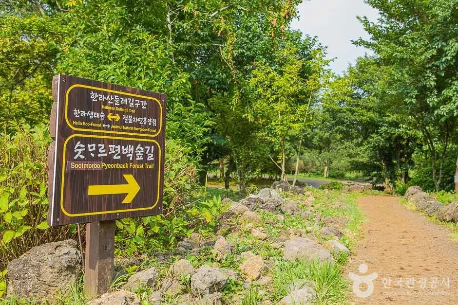
A forest trail connecting the entrance to Jeolmul Natural Recreation Forest with Halla Eco Forest.
Planning estimate · Official section: 6.6km · approach and return distances extra
Archive photo of Cheonwangsa Temple's main hall, a stop on the approach to Hallasan's Seokguram Trail · This is not a photo of Seokguram Hermitage or the trail itself.
Hallasan and the uplands · Hallasan
The Seokguram Trail is a short official route through the deep forest and rocks of Hallasan’s Aheunahopgol to Seokguram Hermitage. It is separate from the summit routes to Baengnokdam and can be approached from Jeju City for a forest hike.
Planning reference · 3 km round trip · 50 minutes one way (official estimate)
Seogwipo and the south · Volcanic hills
Jejigi Oreum is a small volcanic hill near the sea in Bomok-dong. The official government introduction describes a maintained trail. Plan a short walk up it for views of Seopseom and Seogwipo’s southern coast.
Planning estimate · 40–80 minutes (editorial guide)
Seogwipo and the south · Volcanic hills
Suak is a forested volcanic hill in Harye-ri, Namwon-eup, Seogwipo. Its elongated east–west shape and the different gradients of its northern and southern slopes can be observed. Jeju Province’s official oreum guide lists a trail and describes it as difficult.
Planning reference · Plan after checking the areas currently open to visitors
Seogwipo and the south · Ports and coastal scenery
Wolpyeong Port is a small harbor in an inlet in Wolpyeong-dong, Seogwipo. Also known as Dongmulgae or Dongmul Port, it offers a glimpse of everyday coastal village life distinct from a broad swimming beach.
Planning estimate · 20–40 minutes (editorial estimate)
Seogwipo and the south · Ports and coastal scenery
Beophwan Port is also known as Maksukgae. A story behind the name tells of General Choe Yeong providing quarters for his soldiers here in the late Goryeo period, adding coastal village history to Seogwipo's sea views.
Planning estimate · 30–60 minutes (editorial estimate)
Jeju City and the north · Ports and coastal scenery
Aljakji Beach is a pebble coast in Naedo-dong, Jeju City. Examine the size and surface of its basalt stones while considering how they traveled down from Hallasan through Musucheon and Woldaecheon streams and were rounded by the sea.
Planning estimate · 20–40 minutes (editorial estimate)
Western Jeju · Ports and coastal scenery
Jagunae Port is a fishing harbor on the west coast of Gosan-ri with views of Chagwido, Wado and Dangsanbong. Boats to the islands, fishing vessels and a surviving coastal dodaebul beacon offer a glimpse of western Jeju's coastal village scenery.
Planning estimate · 30–60 minutes·boat trip extra (editorial estimate)
Western Jeju · Ports and coastal scenery
Hallim Port serves the fishing and logistics industries of Hallim-eup. Its fishing vessels and port facilities are larger in scale than those of a small harbor, offering a view of everyday life and industry at a western Jeju port.
Planning estimate · 30–60 minutes·island trip extra (editorial estimate)
Islands off Jeju · Beaches
Mojini Mongdol Beach is a pebble beach in Sinyang-ri on Hachujado. Rounded stones line the shore instead of fine sand, and you can hear them move against one another as the waves come and go.
Planning estimate · 30–60 minutes·travel to the island extra (editorial estimate)
Islands off Jeju · Ports and coastal scenery
Upper Chujado Island Harbor follows an indented bay in Daeseo-ri, Chuja-myeon. The gateway for arriving and departing boats sits alongside the village coast, offering a first impression of Chujado after you arrive.
Planning estimate · 30–60 minutes·observation deck extra (editorial estimate)
Seogwipo and the south · Ports and coastal scenery
Wimi Port is a fishing harbor in Wimi-ri, Namwon-eup, with views toward Jigwido offshore and along Jeju's southern coast. It is also introduced as part of the village shoreline connected to Jeju Olle Trail Route 5.
Planning estimate · 30–60 minutes (editorial estimate)
Western Jeju · Ports and coastal scenery
Baksugijeong is a high coastal cliff beside Daepyeong Port. Its name combines Jeju words introduced as baksu, meaning spring water, and gijeong, meaning cliff, linking the terrain and water in the place name.
Planning estimate · 30–60 minutes·Olle walk extra (editorial estimate)
Western Jeju · Ports and coastal scenery
Daepyeong Port is a harbor used by small fishing boats and a viewpoint for Baksugijeong Cliff. Daepyeong and Nandeureu are place names meaning broad fields, preserving a connection with the village's fields and coastal terrain.
Planning estimate · 30–60 minutes (editorial estimate)
East · Beaches
Jongdal-ri Beach lies below Jimibong in eastern Gujwa-eup. Its broad shoreline offers views toward Seongsan Ilchulbong and Udo, suiting a scenic trip that brings eastern Jeju's peak and island into one view.
Planning estimate · 30–60 minutes (editorial estimate)
Western Jeju · Ports and coastal scenery
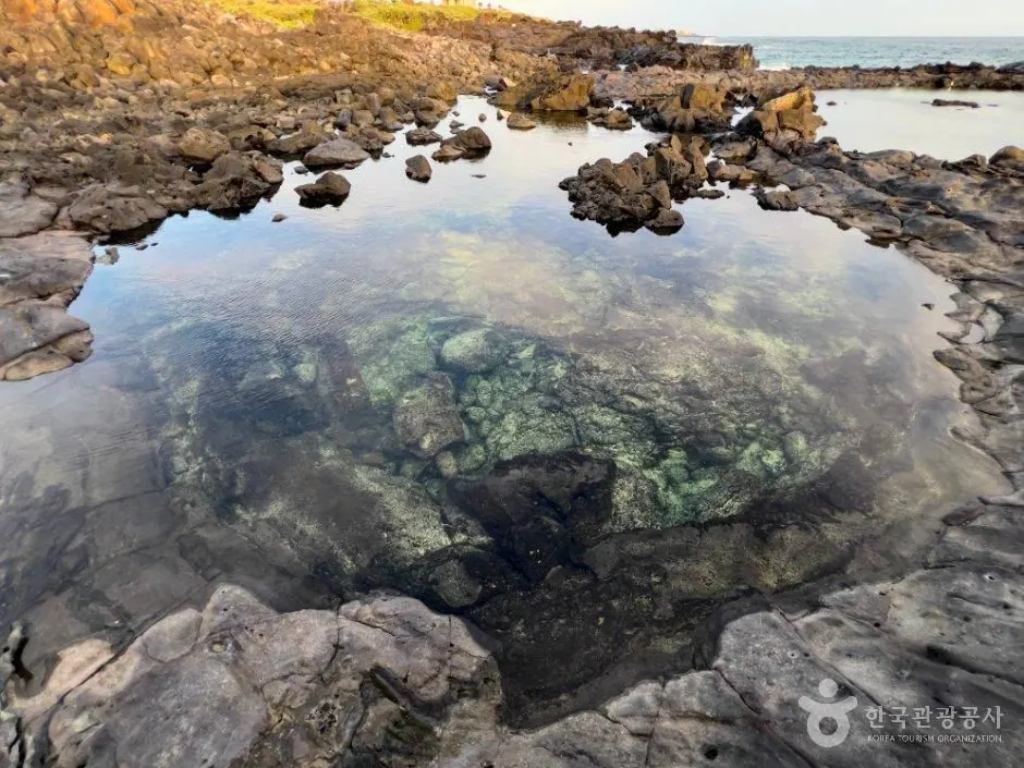
Handam Coastal Trail runs for about 1.2 km along the Handam coast in Aewol toward Gwakji. Also called Gwakgeum Olle-gil, it offers close views of basalt rocks and the curving shoreline.
Planning estimate · 40–80 minutes·round trip (editorial estimate)
Seogwipo and the south · Ports and coastal scenery
Haye Port, also called Yerae Port, is a small harbor in Haye-dong, Seogwipo, with sea views toward Sanbangsan and Hyeongjeseom. It offers a village fishing-harbor setting distinct from Jungmun's larger tourist facilities.
Planning estimate · 20–40 minutes (editorial estimate)
Western Jeju · Ports and coastal scenery
Singyemul Park takes its name from a spring on the Sinchang coast. The Jeju name means newly discovered water, and stone walls around the former separate men's and women's bathing areas reveal coastal traditions of water use.
Planning estimate · 30–60 minutes (editorial estimate)
Western Jeju · Ports and coastal scenery
Sindo Port lies on the coast of Sindo-ri, Daejeong-eup. Bowl-like doguri formations in the basalt and views of the southwestern sea make it a place to observe the shapes of Jeju's rocky shoreline.
Planning estimate · 20–40 minutes (editorial estimate)
Western Jeju · Ports and coastal scenery
Dongil-ri Port is a small harbor on the coast of Dongil-ri, Daejeong-eup. The old local place-name Naroe and stories of coastal salt and spring water evoke the lives of villagers who fished and lived close to the sea.
Planning estimate · 20–40 minutes (editorial estimate)
Western Jeju · Ports and coastal scenery
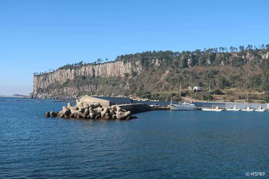
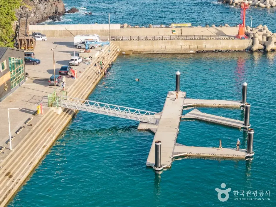
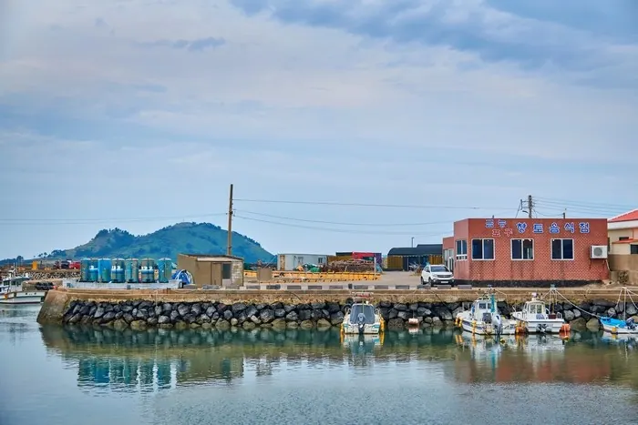
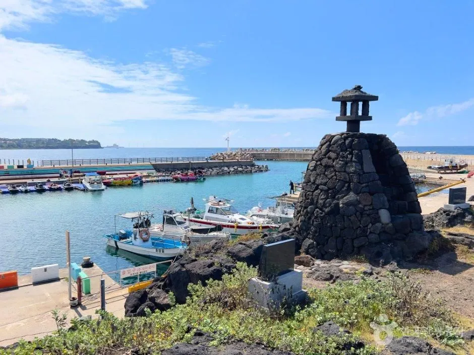
Geumneung Port is a small harbor beside Geumneung Beach where you can observe fishing boats and village life. Explore its moored boats and the beach's broad sandy scenery as two distinct settings within one visit.
Planning estimate · 20–40 minutes (editorial estimate)
Eastern Jeju · Ports and coastal scenery
Ojo Port in Ojo-ri, Seongsan-eup, offers a view combining Seongsan Ilchulbong and the sea. The low village coast and harbor waters unfold against the peak, making a setting for landscape photography.
Planning estimate · 30–60 minutes (editorial estimate)
Seogwipo and the south · Ports and coastal scenery
Daepo Port is a fishing harbor in Daepo-dong, Seogwipo. South of the Jungmun attractions, boats and basalt shores reveal a village's everyday working space among the tourist facilities.
Planning estimate · 20–40 minutes·activities extra (editorial estimate)
Western Jeju · Ports and coastal scenery
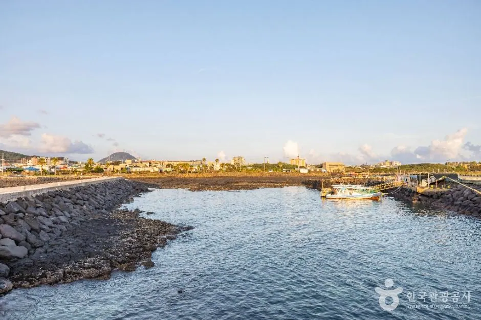
Wollyeong Port is a fishing harbor in Wollyeong-ri, Hallim-eup. Along a coast where cacti grow beside village stone walls, observe the combination of black rock, sea and fishing boats.
Planning estimate · 30–60 minutes (editorial estimate)
Jeju City and the north · Ports and coastal scenery
Yeondae Port is a small harbor on the coast of Oedo-dong, Jeju City, also known by the name Marijipo. A lighthouse, fishing boats and haenyeo divers' working spaces offer fishing-village scenery close to the city.
Planning estimate · 20–40 minutes (editorial estimate)
Western Jeju · Ports and coastal scenery
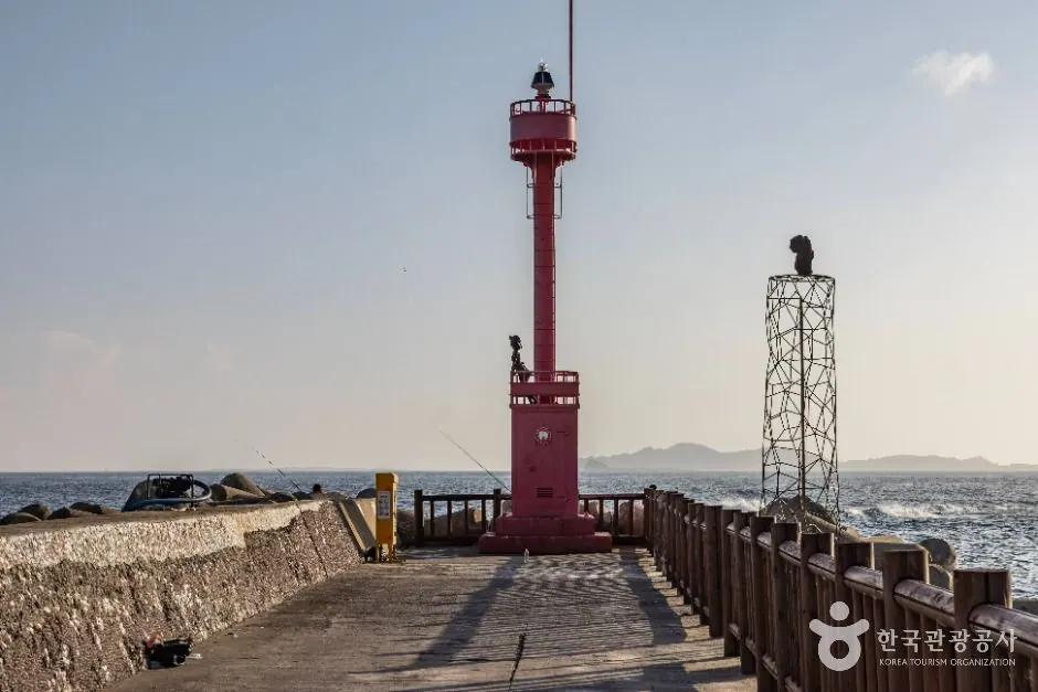
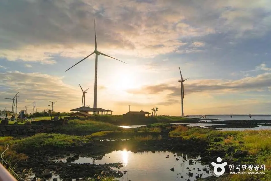
Hyeopjae Port is a small fishing harbor beside Hyeopjae Beach. Views of Biyangdo across the sea, stone walls, fishing boats and a small lighthouse offer a coastal scene different from Hyeopjae's sandy beach.
Planning estimate · 20–40 minutes (editorial estimate)
Eastern Jeju · Ports and coastal scenery
Gimnyeong Port is a fishing harbor in Gimnyeong-ri, Gujwa-eup, combining fishing boats and coastal scenery. Link it with the nearby geological coast around Gimnyeong and Woljeong to explore northeastern Jeju's sea.
Planning estimate · 30–60 minutes·boat trip extra (editorial estimate)
Seogwipo and the south · Ports and coastal scenery
Bomok Port is a fishing-village harbor in Bomok-dong, Seogwipo, in a village known for damselfish. Look toward Seopseom and Munseom offshore while observing boats entering and leaving the harbor and the islands of southern Jeju.
Planning estimate · 30–60 minutes (editorial estimate)
Western Jeju · Ports and coastal scenery
At Gueom Port, explore the fishing harbor alongside Gueom-ri's sogeum bille, flat basalt surfaces once used to make salt. The connection between the level rocky coast and the village's former salt industry is a distinctive feature.
Planning estimate · 30–60 minutes (editorial estimate)
East · Beaches
Pyeongdae Beach is a small sandy beach in Pyeongdae-ri, Gujwa-eup. Between Woljeong and Sehwa on the northeastern coast, it offers a place to pause by the sea with the village and fields close by.
Planning estimate · 30–60 minutes (editorial estimate)
Western Jeju · Ports and coastal scenery
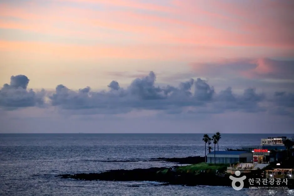
Sunset Coast Road follows the southwestern shores of Daejeong and Hangyeong, linking sea views and coastal villages. Plan stops at several points to see the ports around Ilgwa-ri, Sindo-ri and toward Gosan, the rocky shore and the evening sea.
Planning estimate · 1–2 hours·selected section (editorial estimate)
Jeju City and the north · Ports and coastal scenery
Samyang Coastal Road links the village and black-sand beach in Samyang-dong, Jeju City. See the sea and village by day, and a different coastal atmosphere and lighting in the evening.
Planning estimate · 30–60 minutes (editorial estimate)